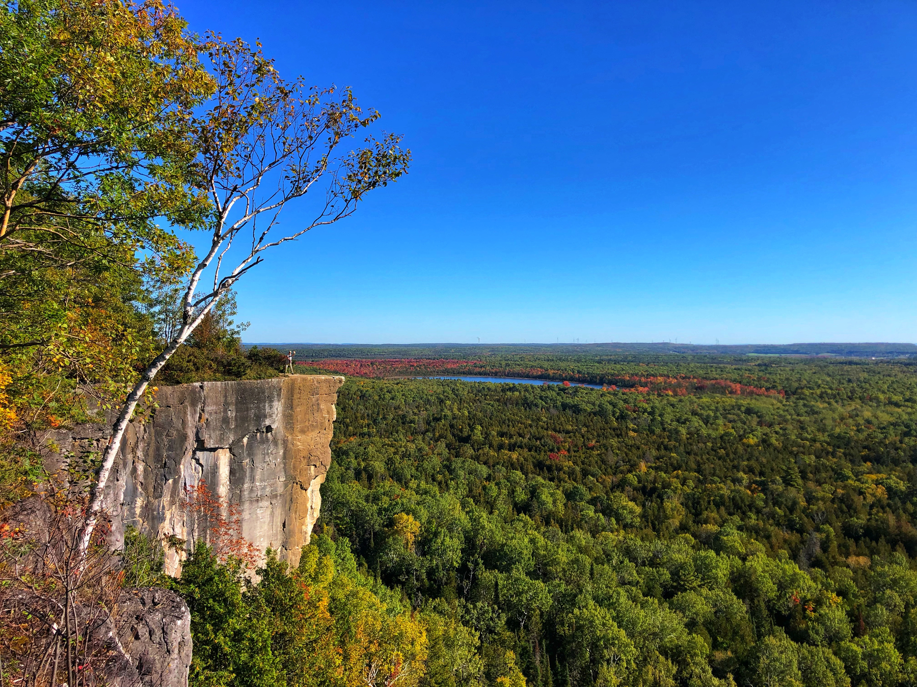
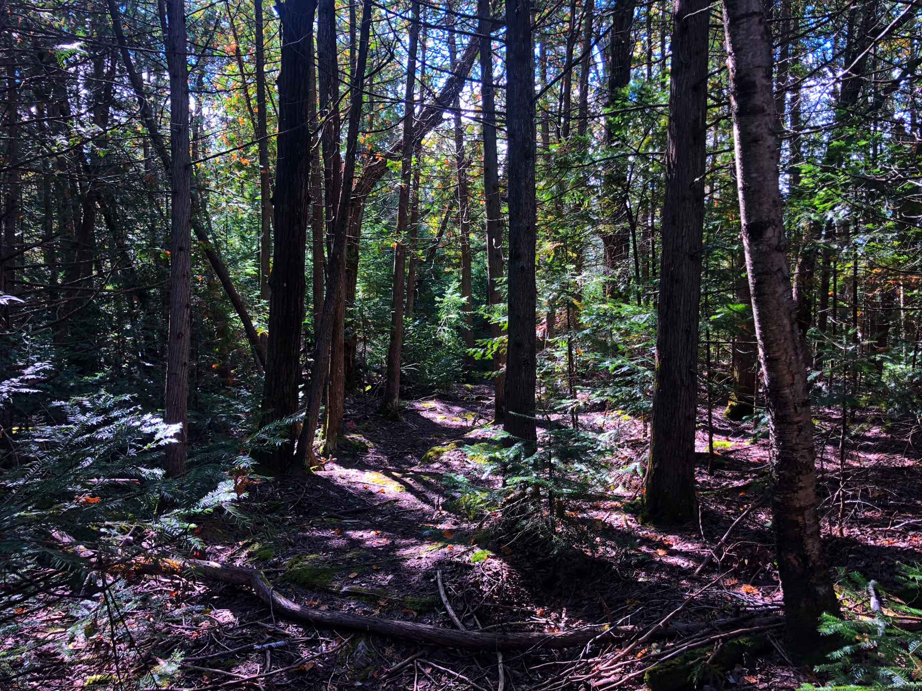
Cup and Saucer Trail
The name of the island, Manitoulin, is the English version of the Ojibwe name Manidoowaaling, which means “Cave of the Spirit”. It was named for an underwater cave where a powerful spirit is said to have lived.
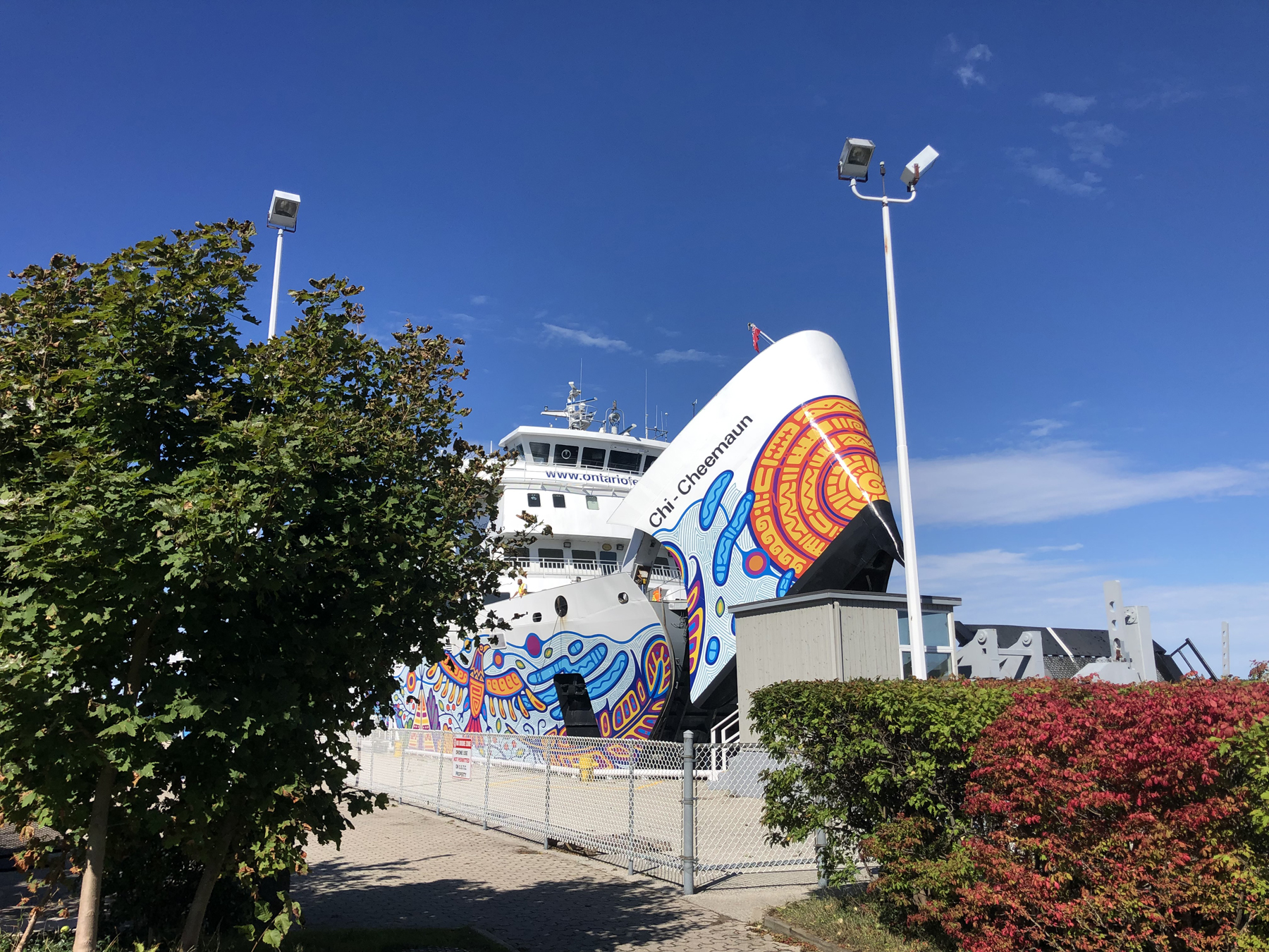
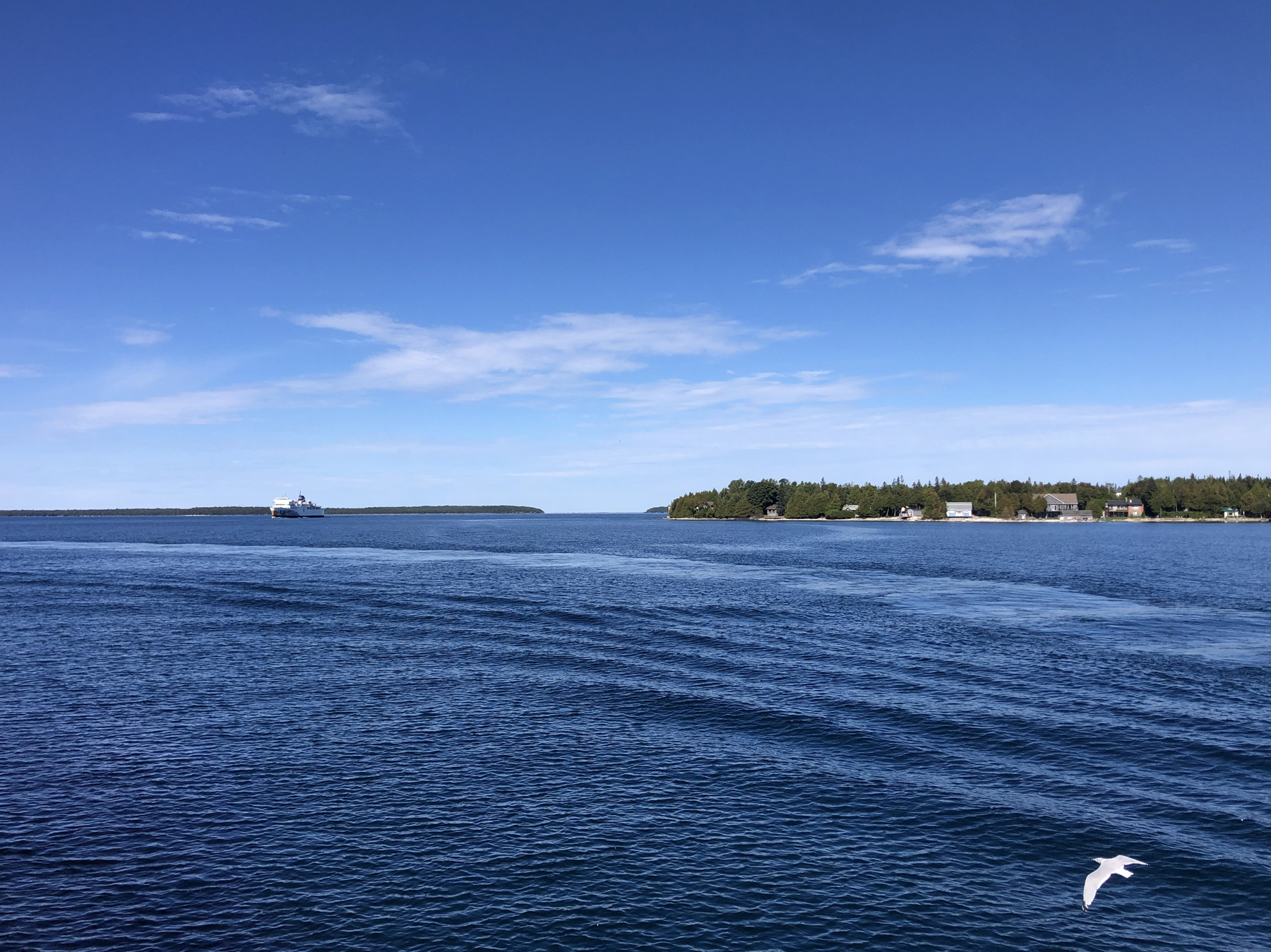
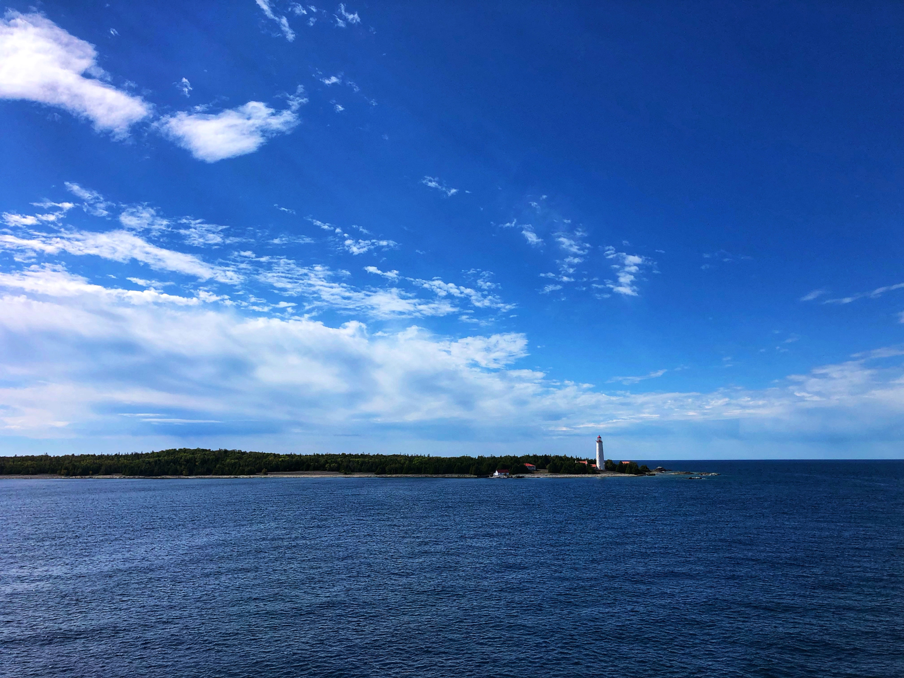
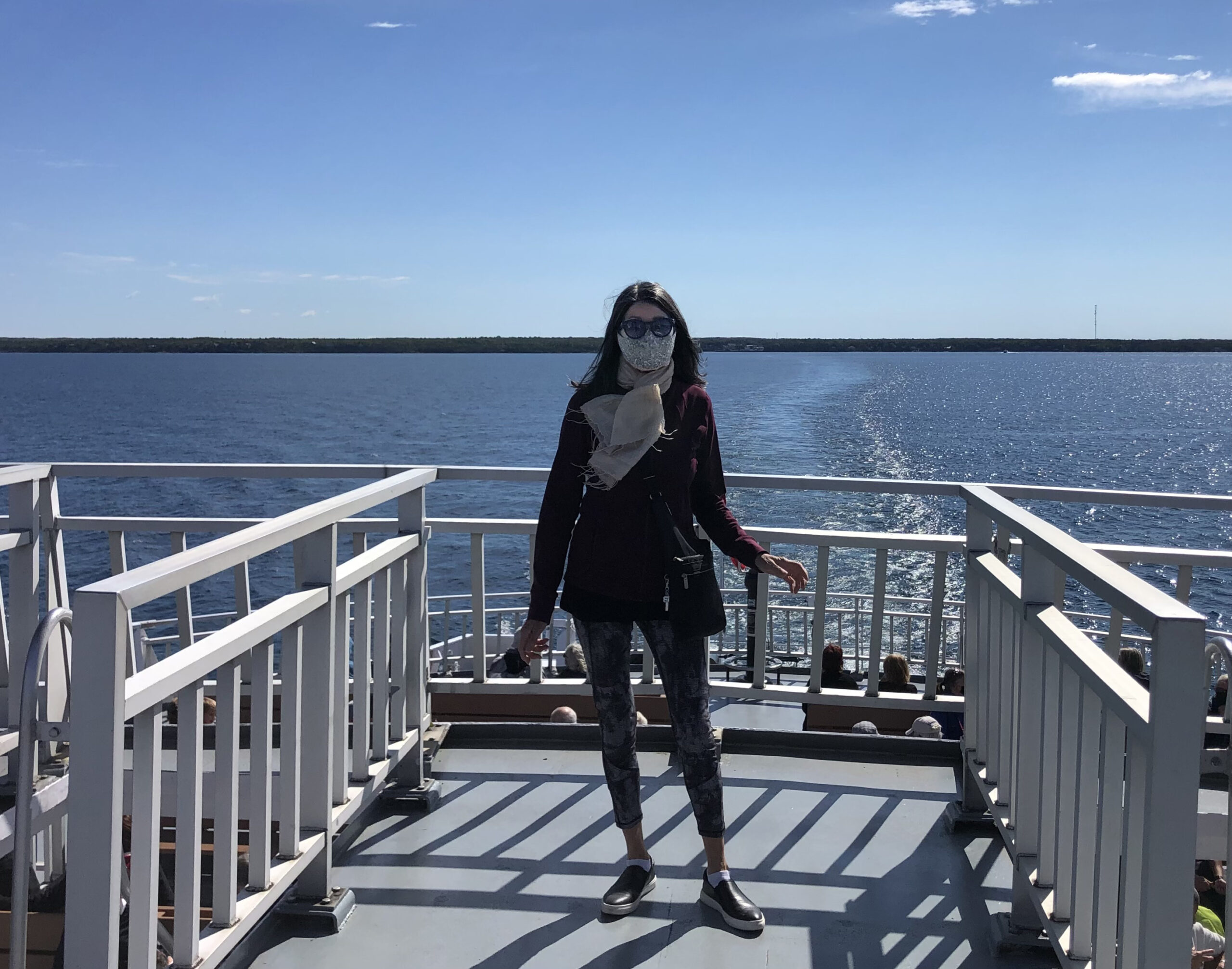
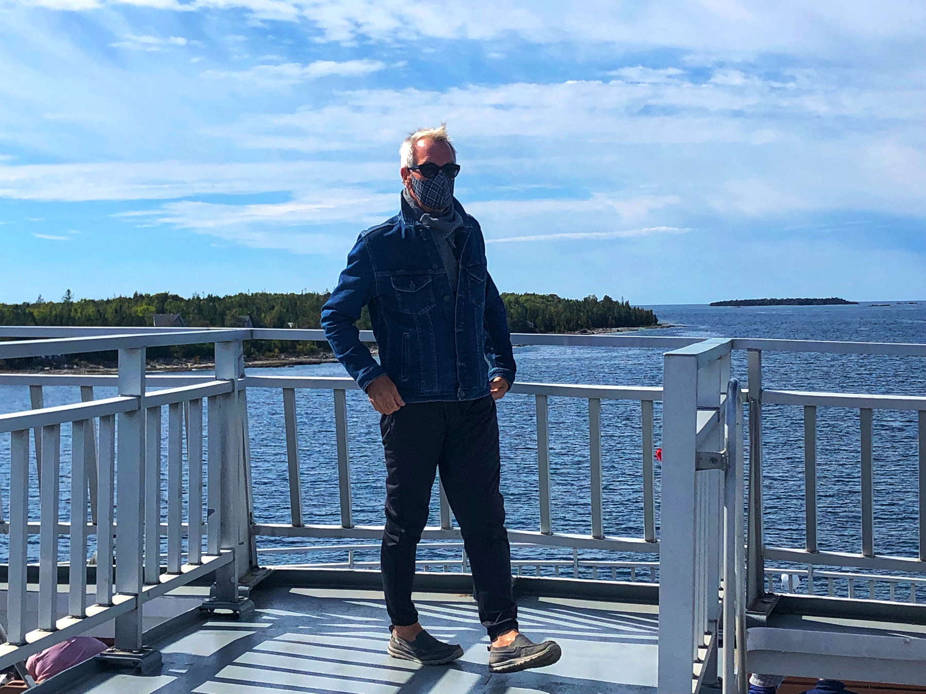
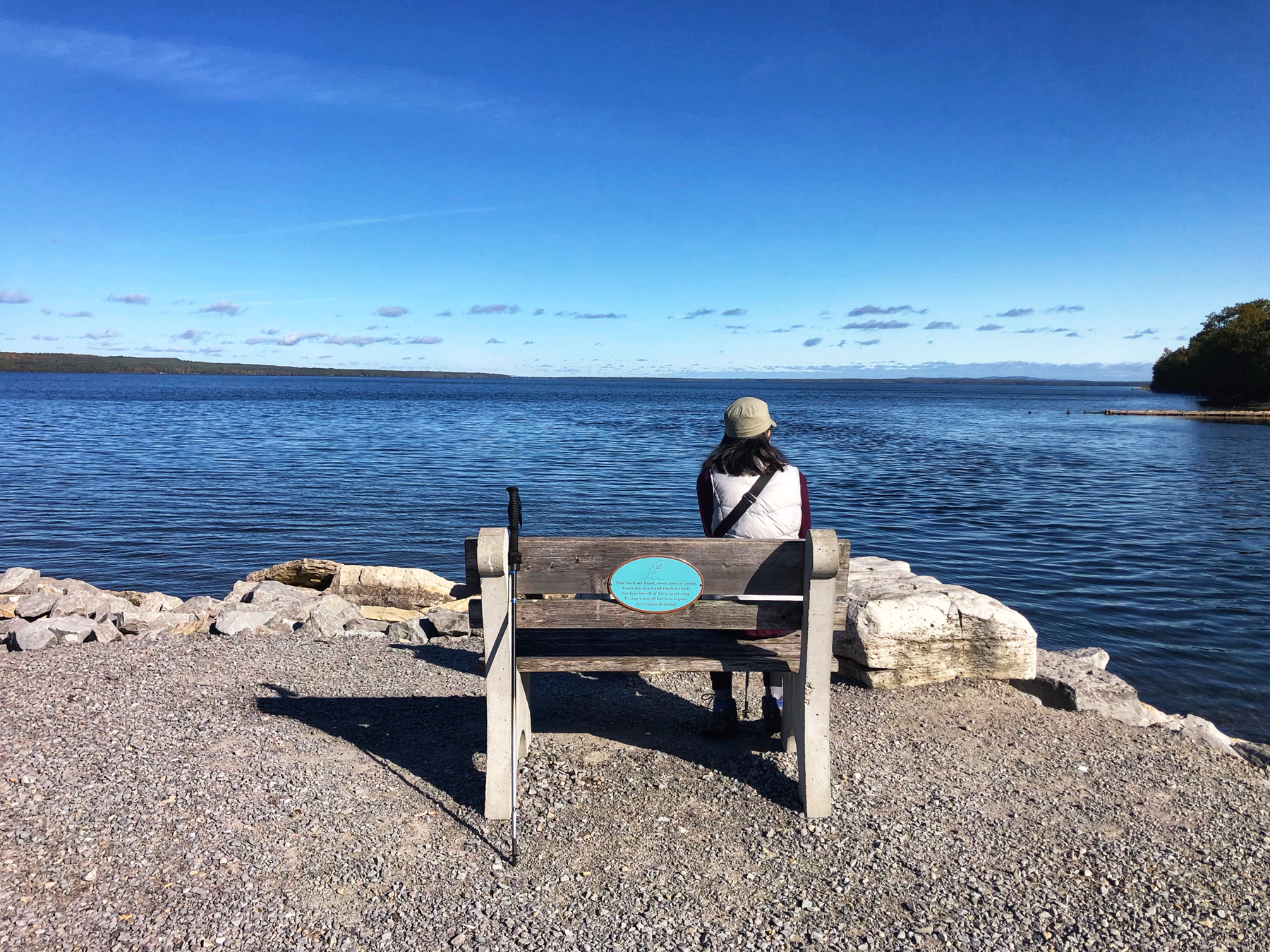
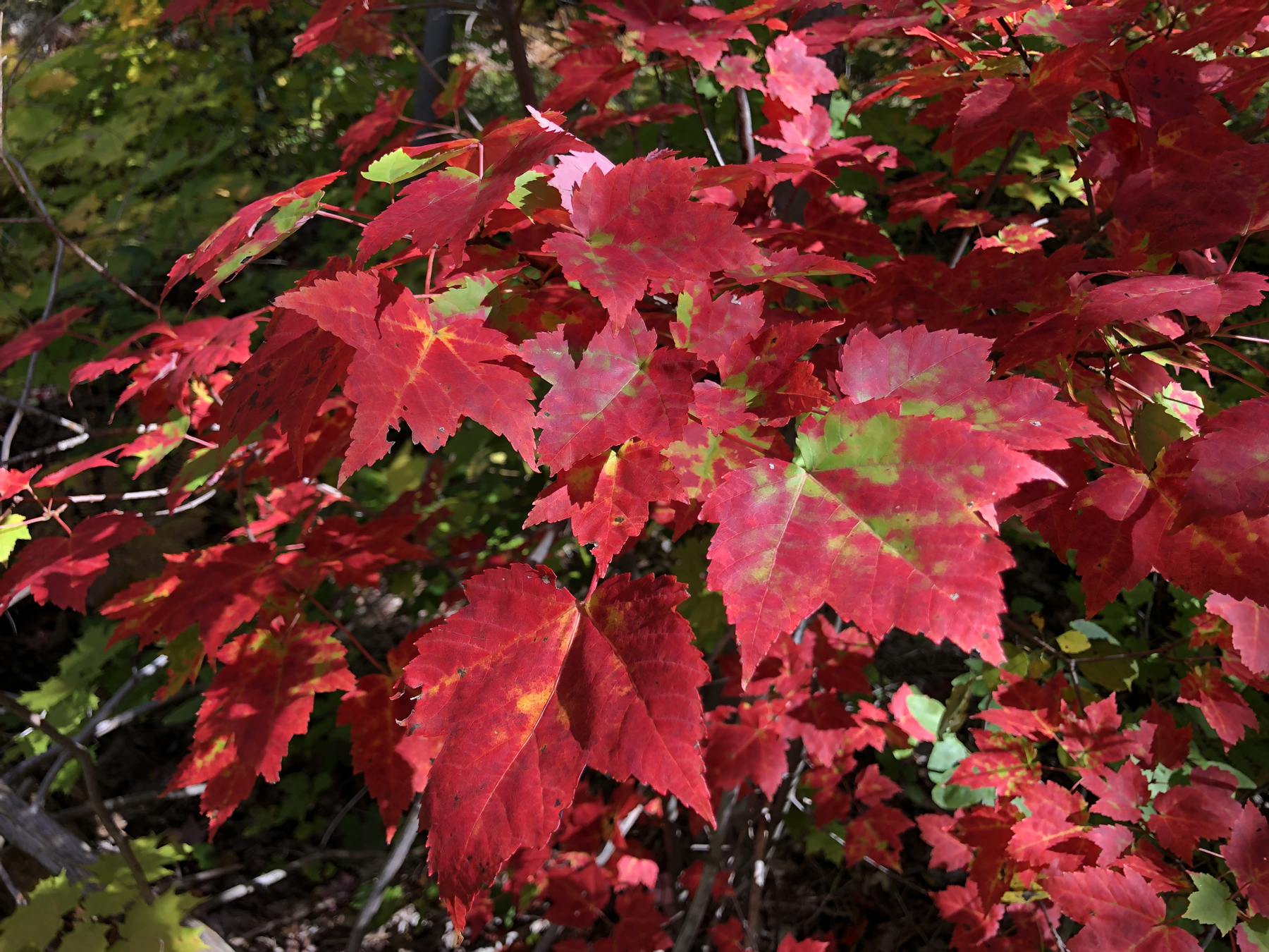
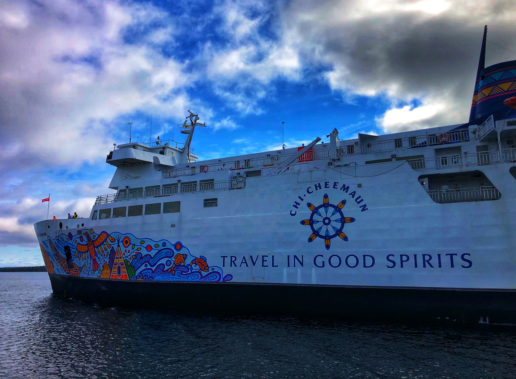
I’d been wanting to visit for several years now and recently, we managed to coordinate some sunshine with the fall colours and grabbed a reservation aboard the Chi-Cheemaun Ferry, which sails from Tobermory to South Baymouth on the island. For me, part of the trip was the ferry ride through Fathom Five Provincial Park and we had a picture perfect blue sky day.
Manitoulin Island is the largest Lake Island in the world, and lies completely within Lake Huron and Georgian Bay in Ontario.
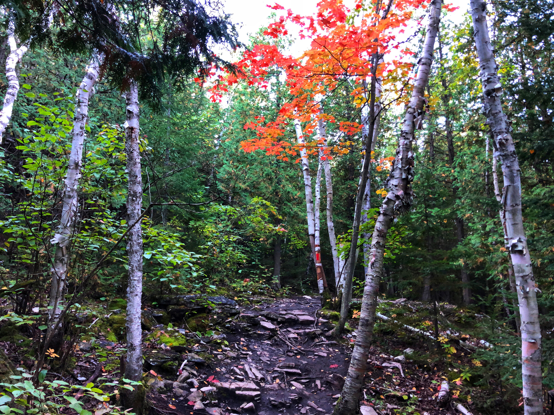
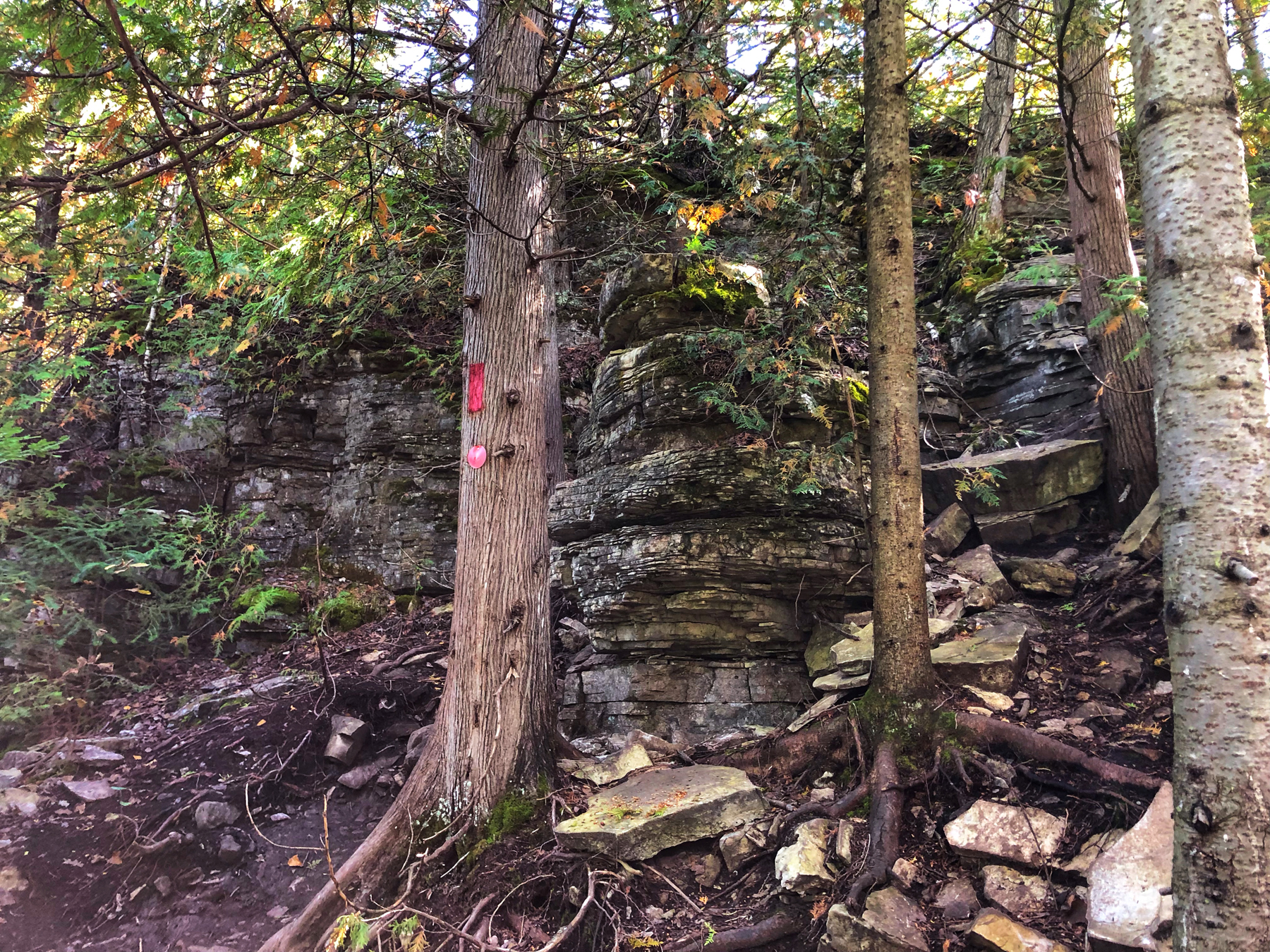
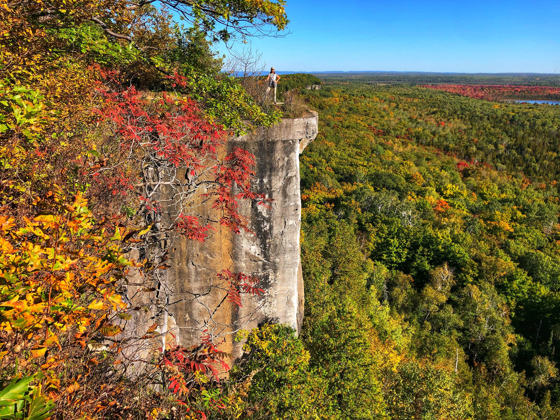
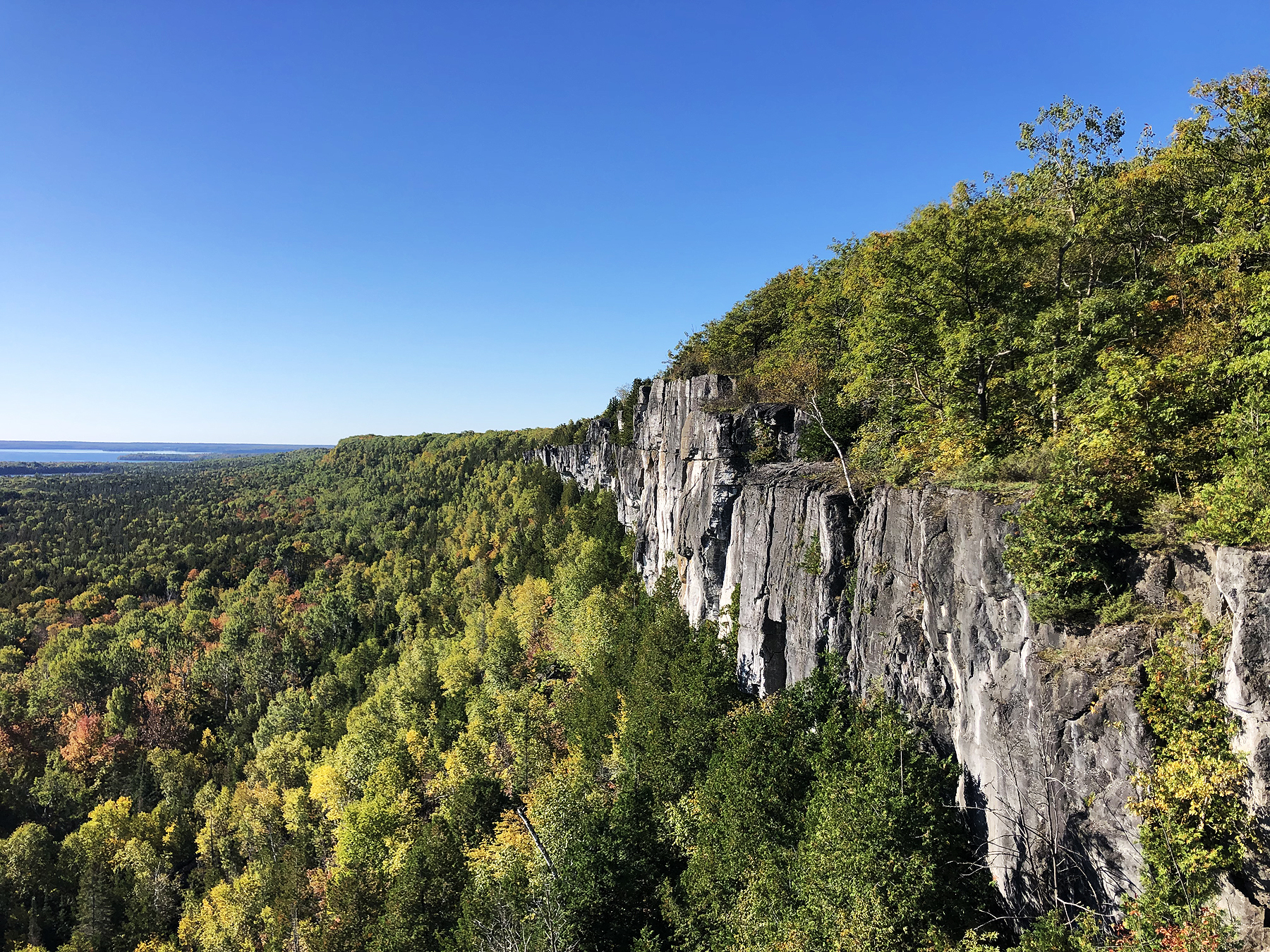
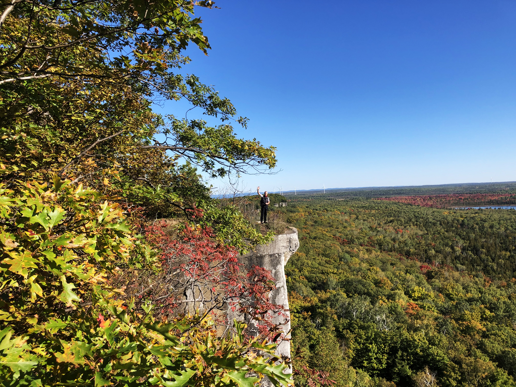
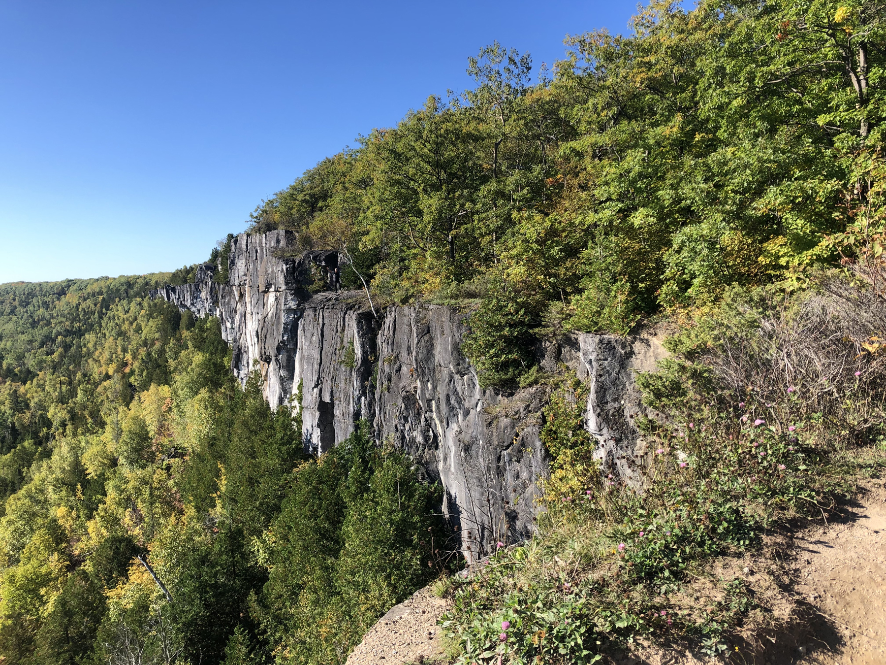
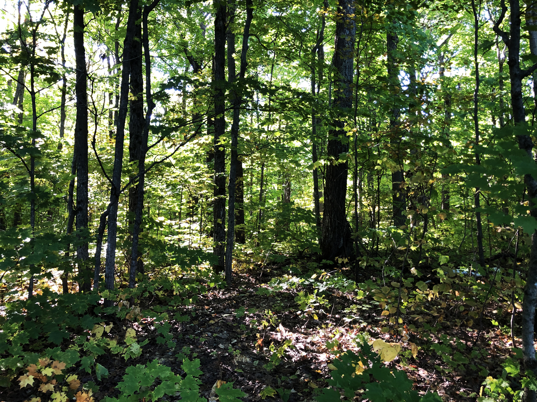
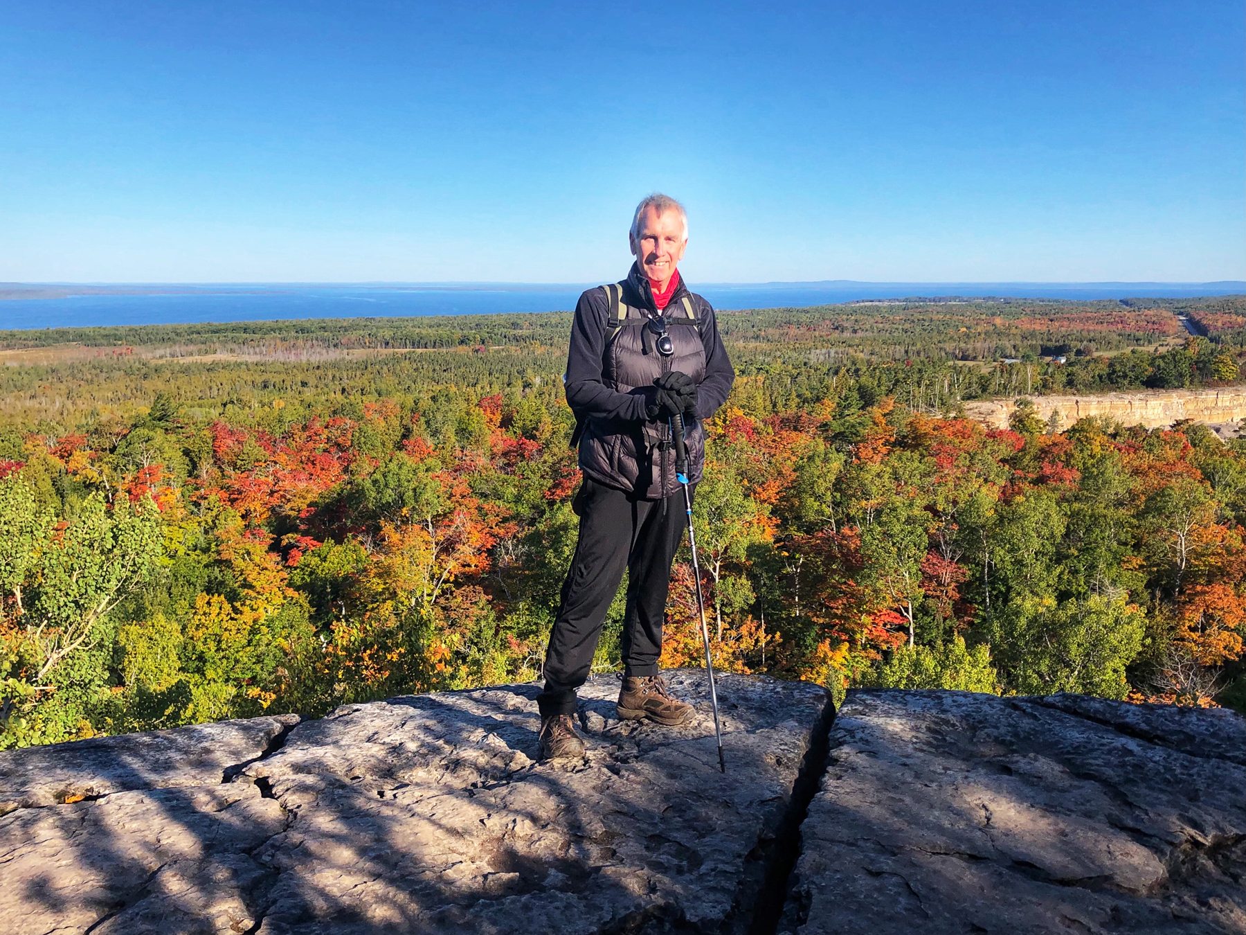
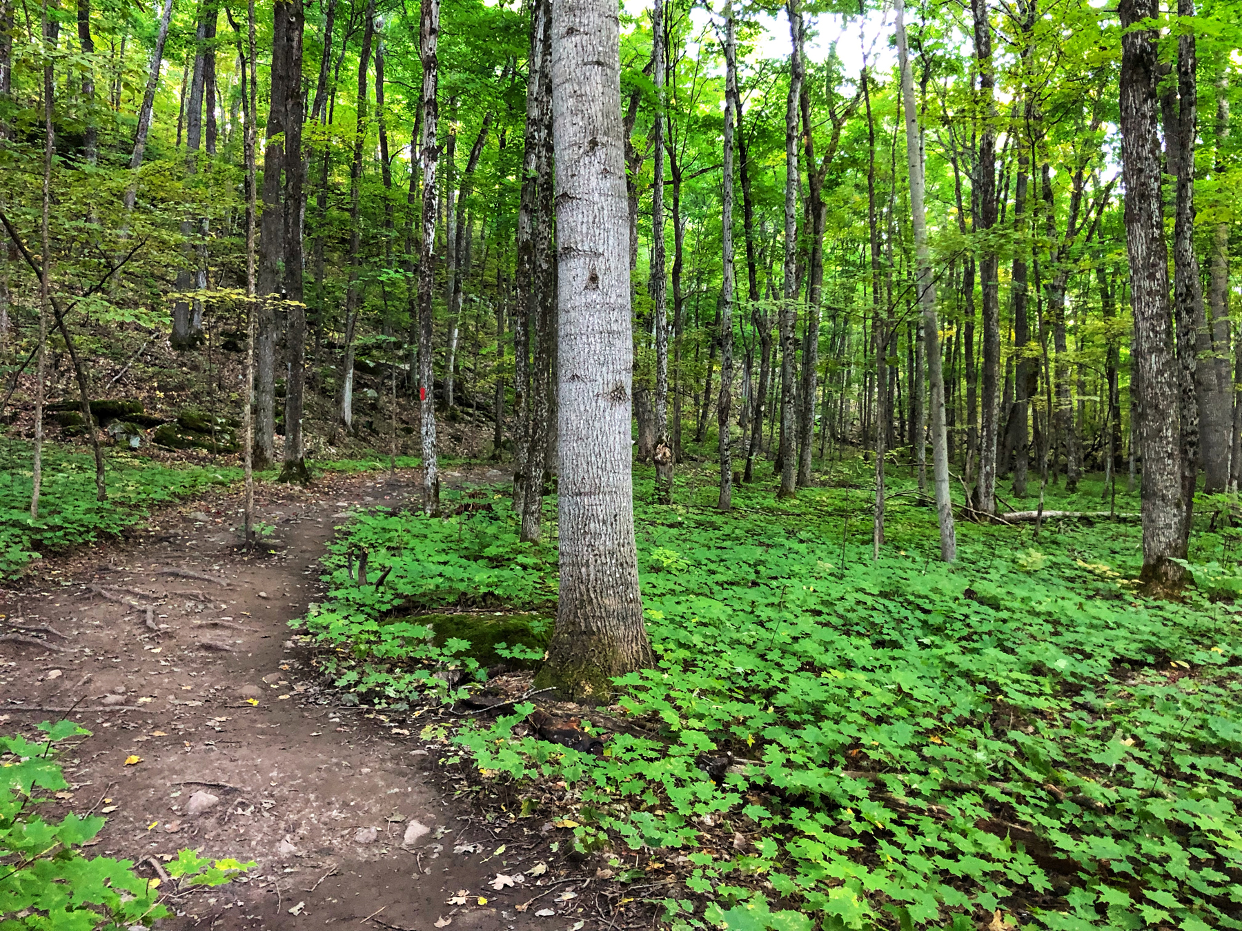
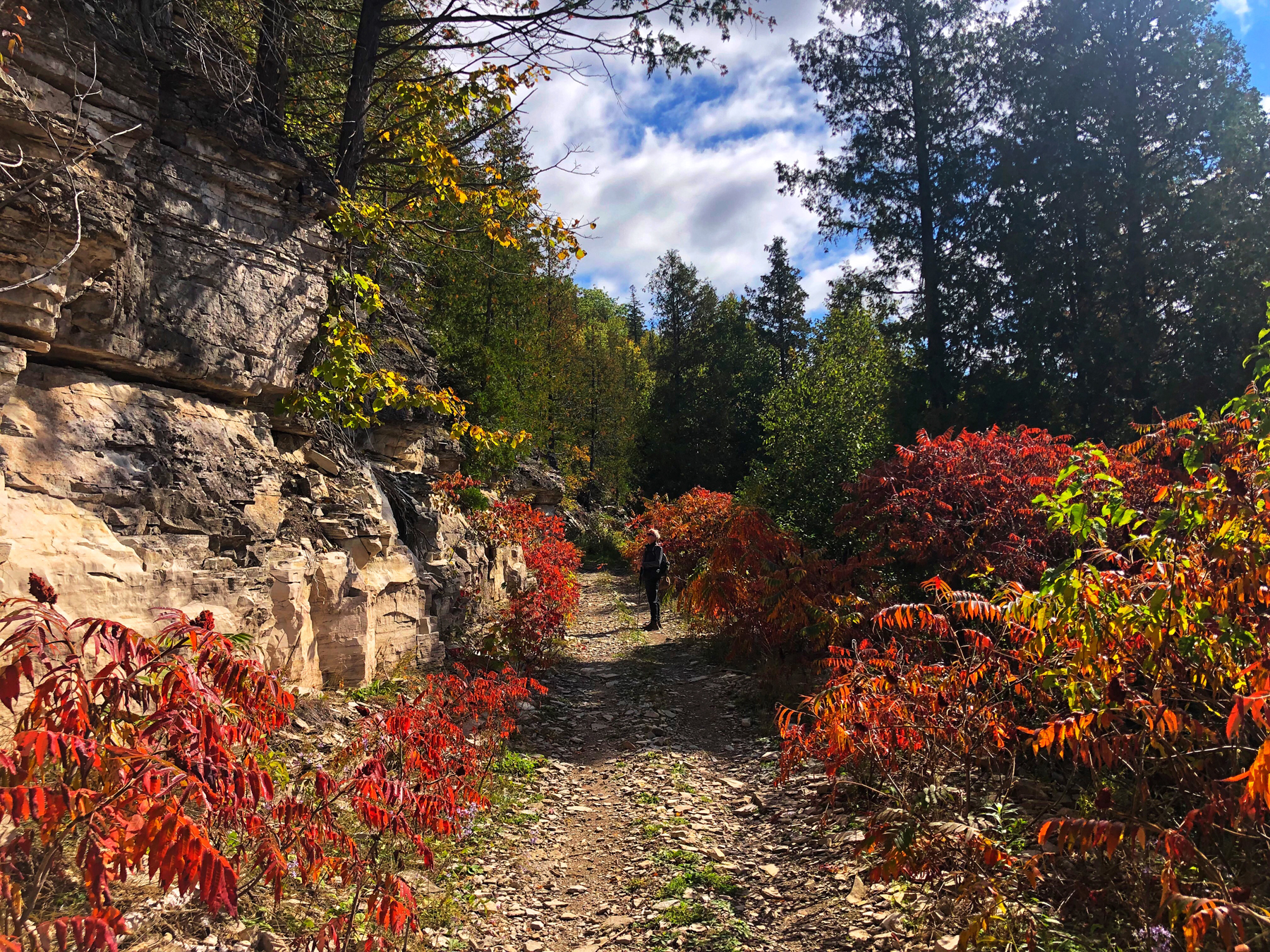
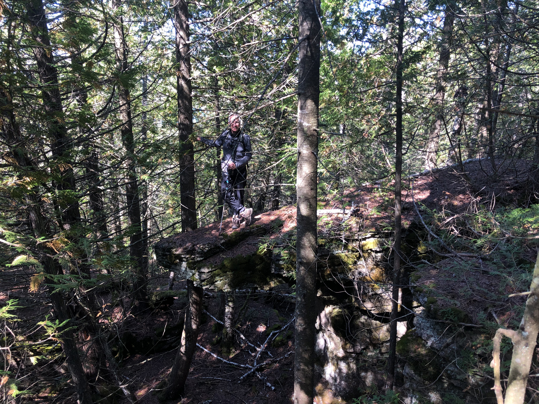
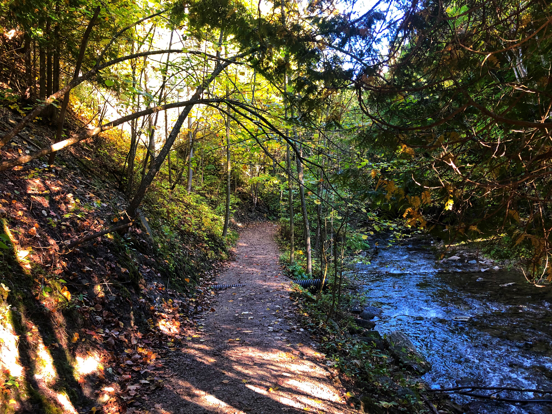
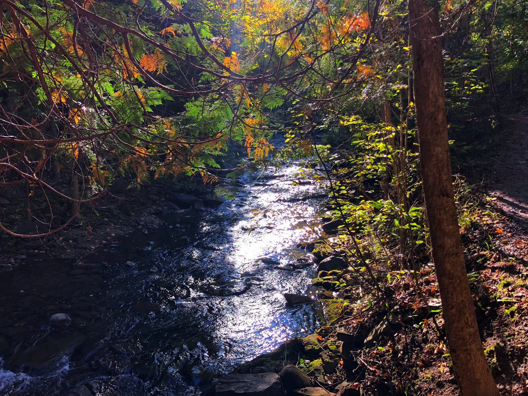
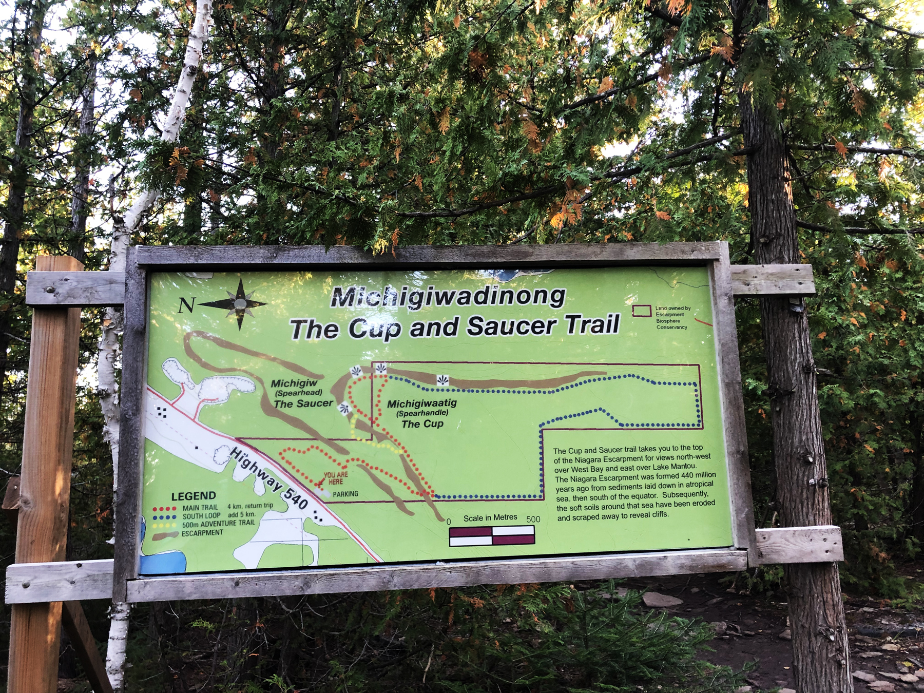
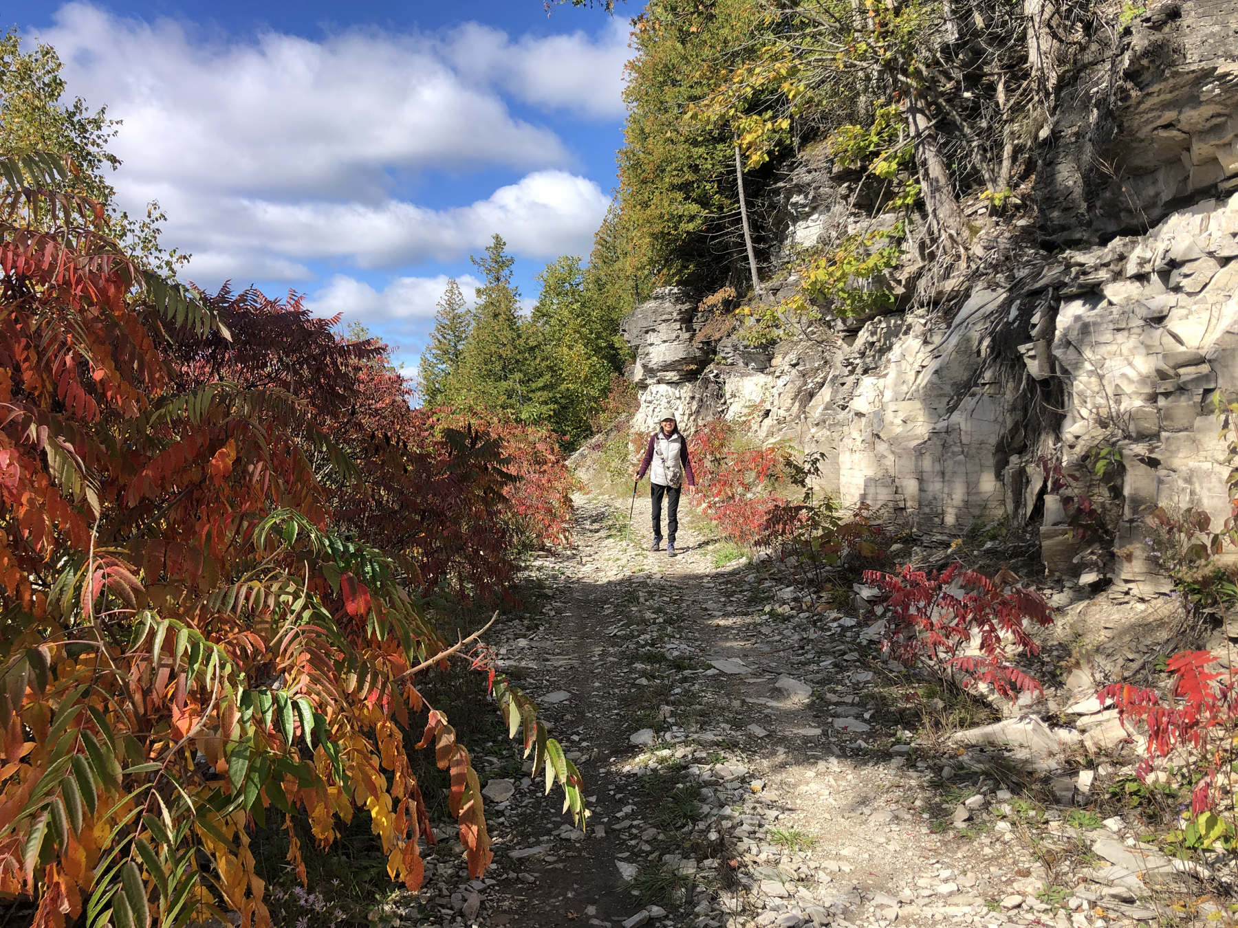
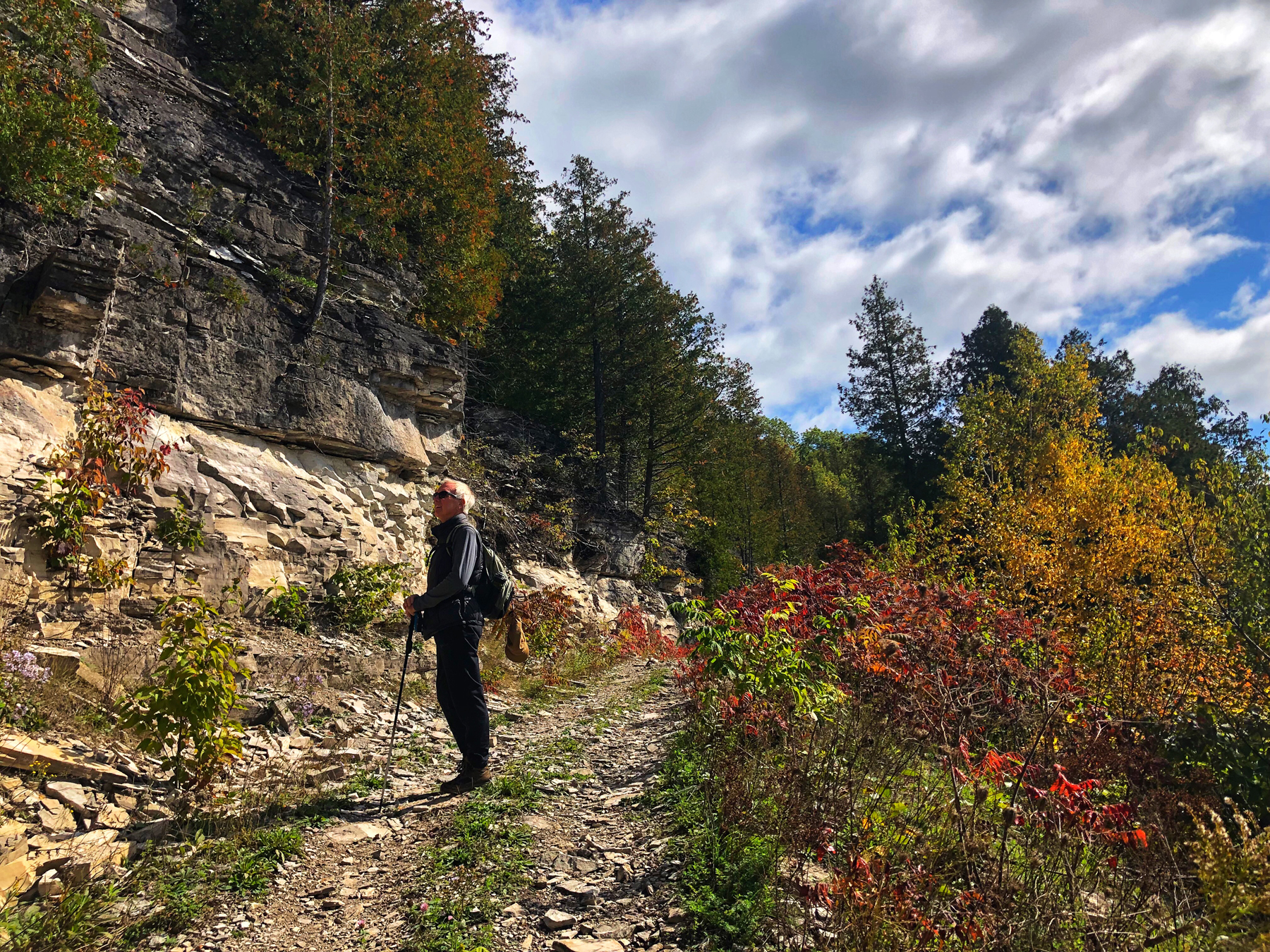
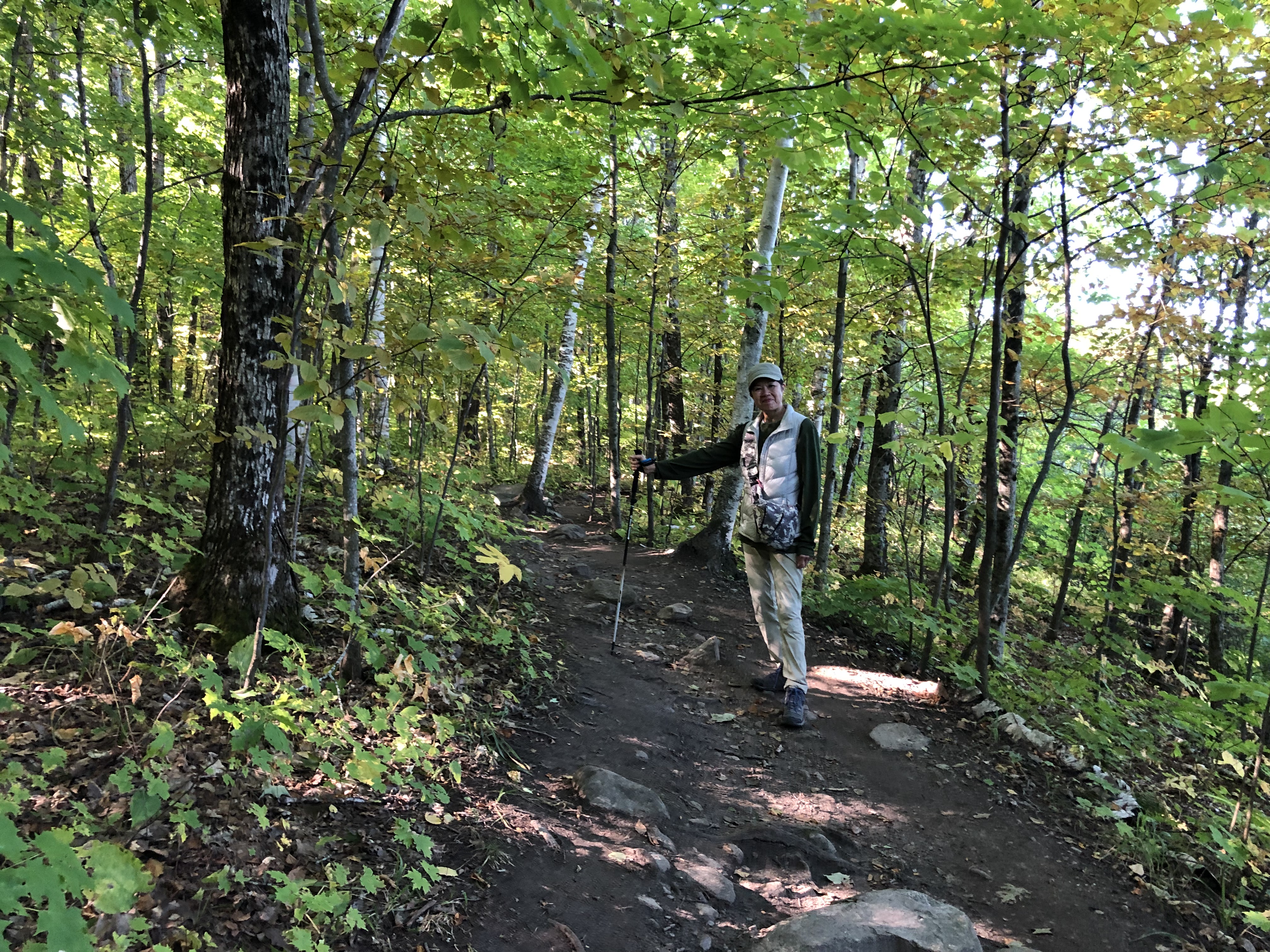
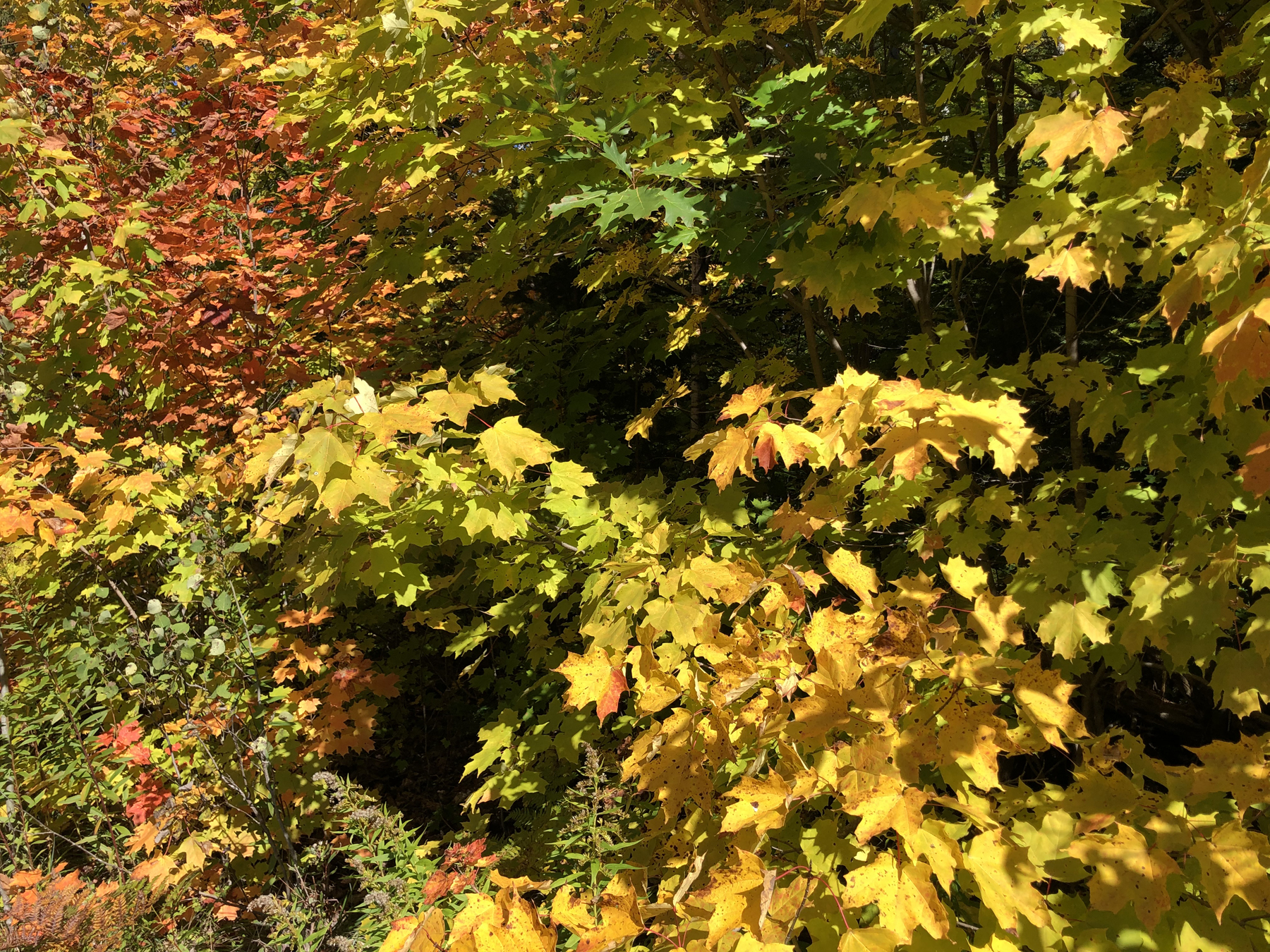
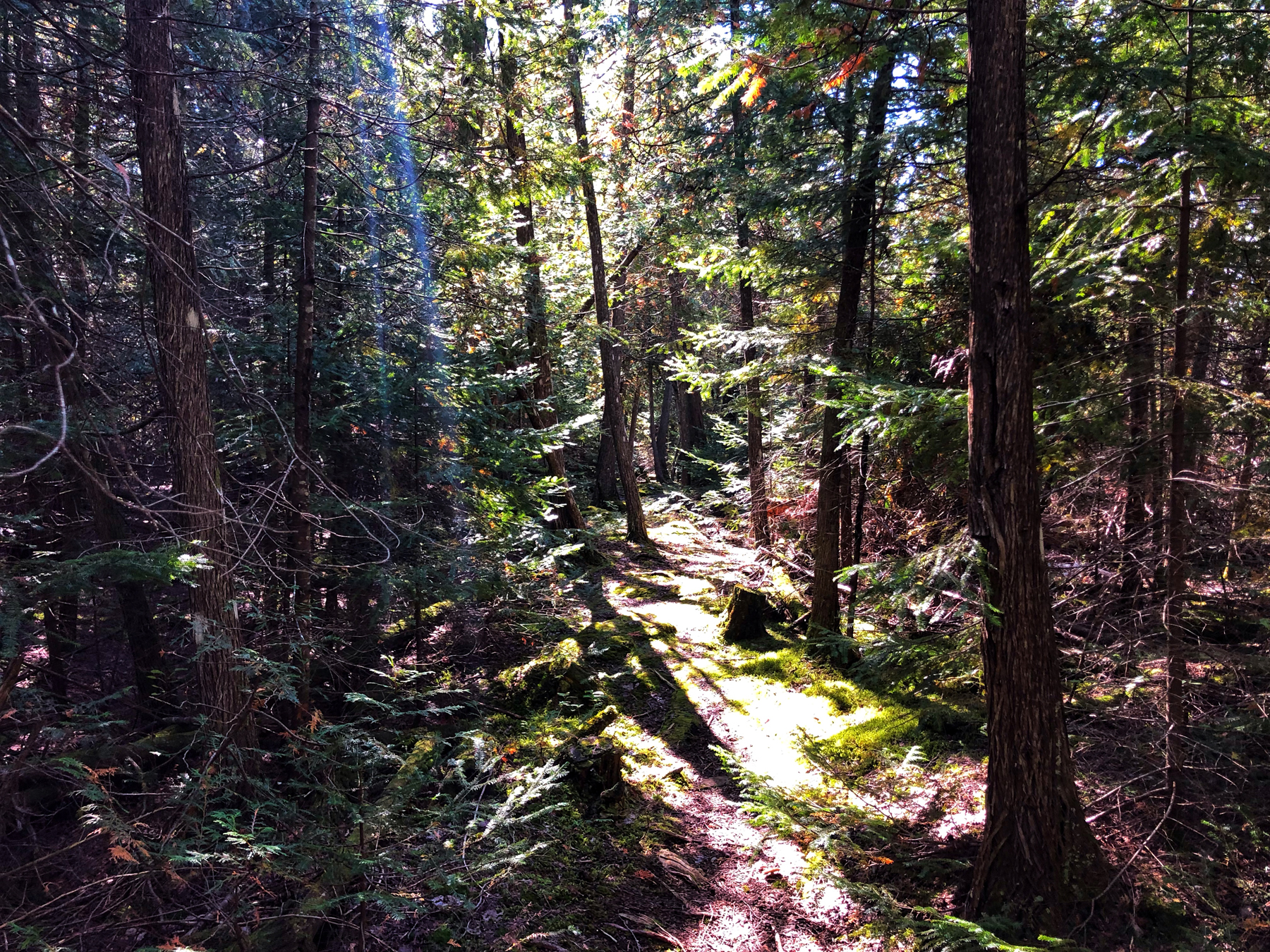
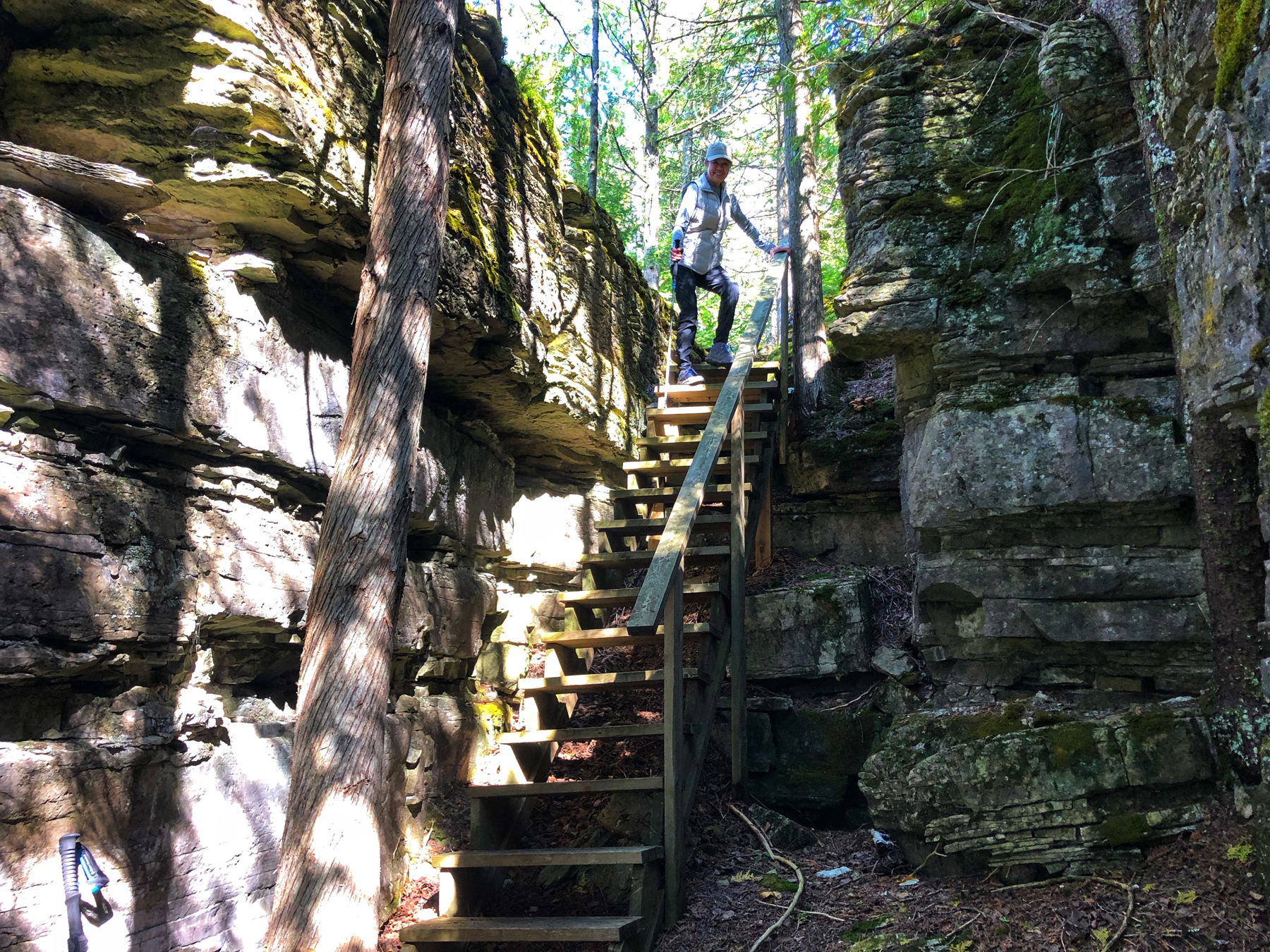
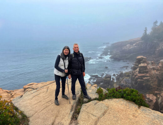
Our first hike was the Cup and Saucer Trail. Named for its unique rock shape, the Cup and Saucer trail is near Sheguindah on Manitoulin Island. It’s still a part of the Niagara Escarpment and when you arrive at the lookouts, prepare to be impressed by the imposing 230 foot high sheer cliffs walls.
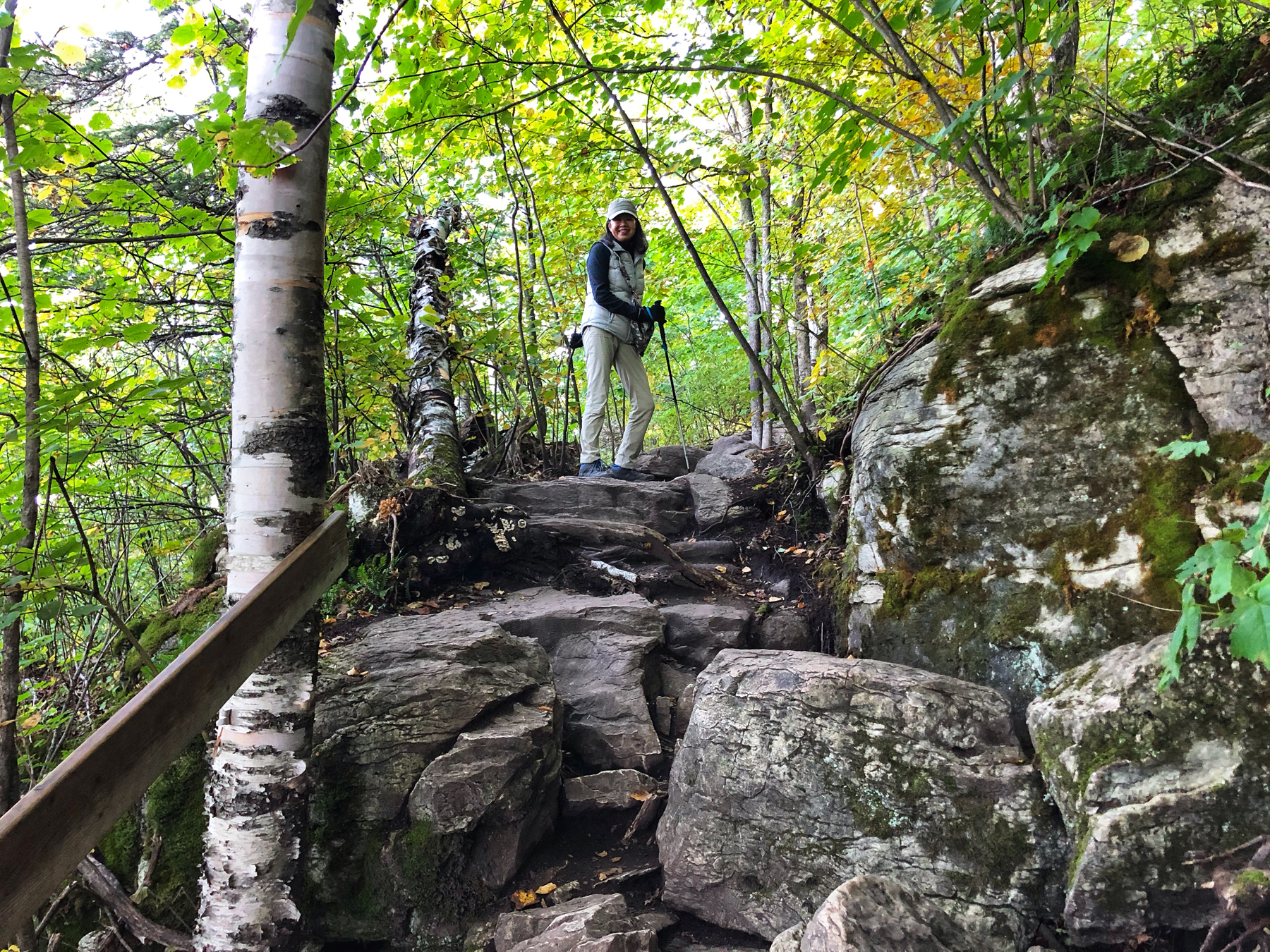
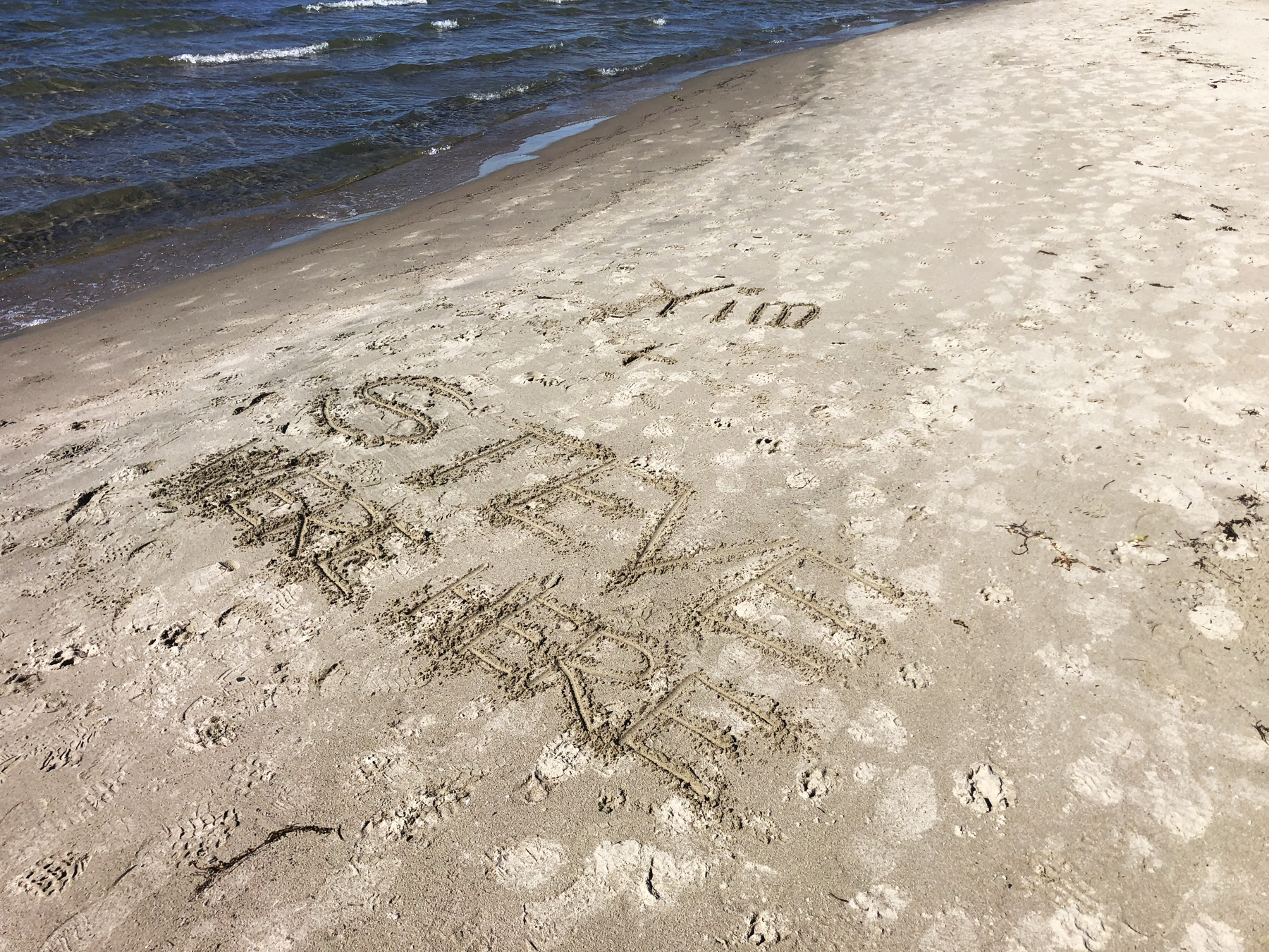
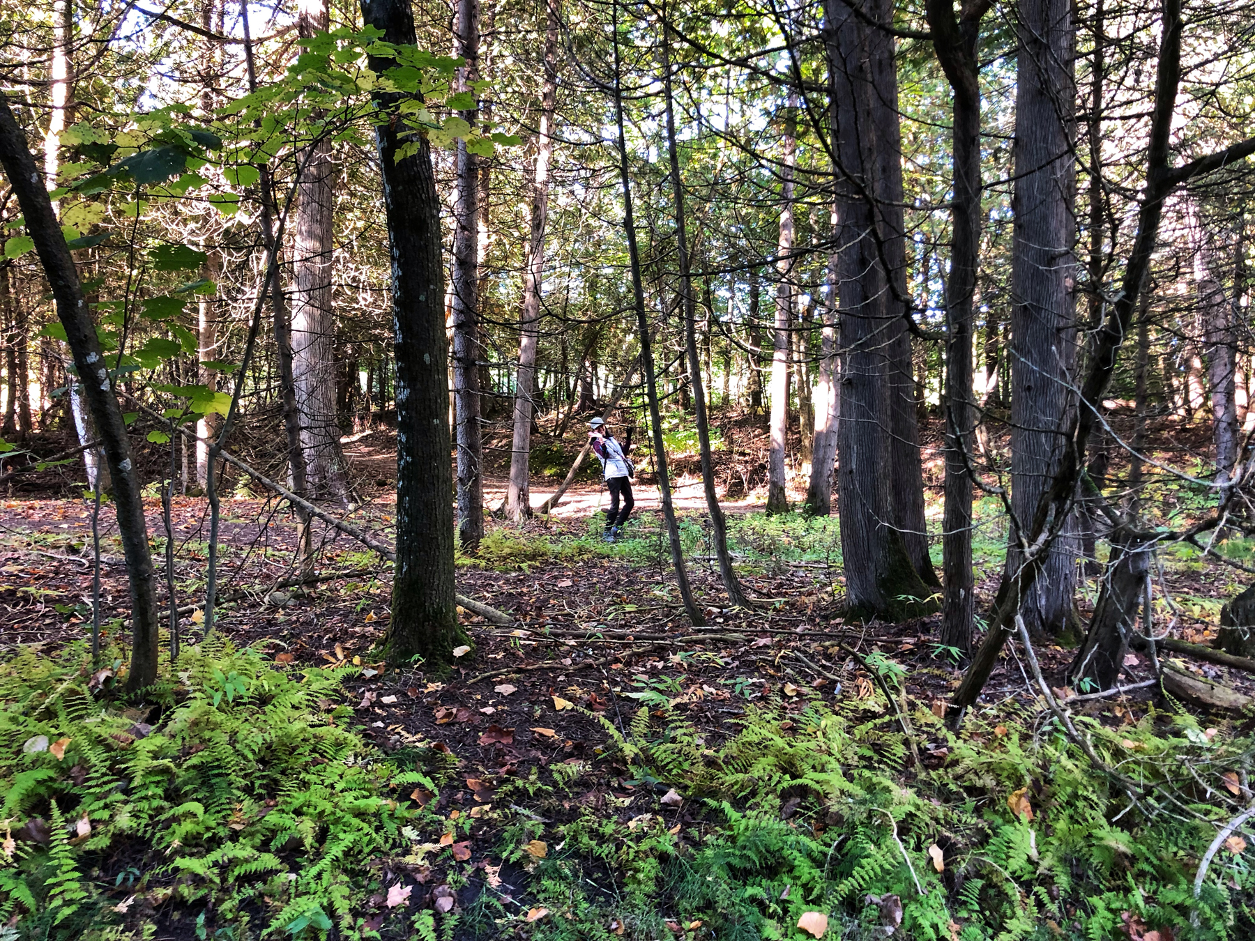
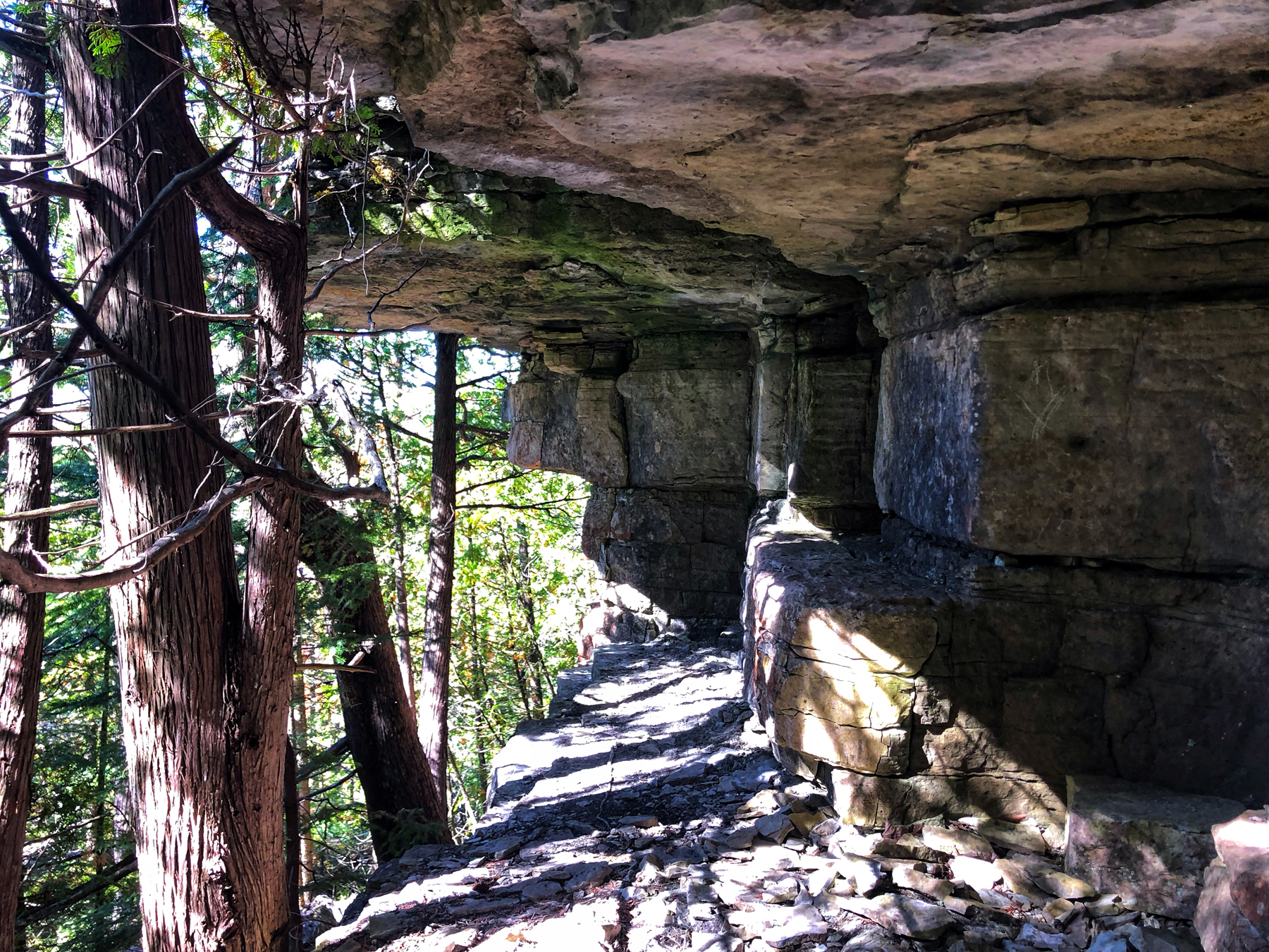
There are 12+ km of hiking trails through the hardwood bush, as well as 2 km of adventure trails. This is one of the most popular trails in Ontario and the lookouts are the reason why. There are four designated lookout points, but everyone aims for the well-known east vantage point – a rock ledge that offers an unparalleled panoramic view. You can see the photos of Yim and I standing on a couple of them in the gallery.
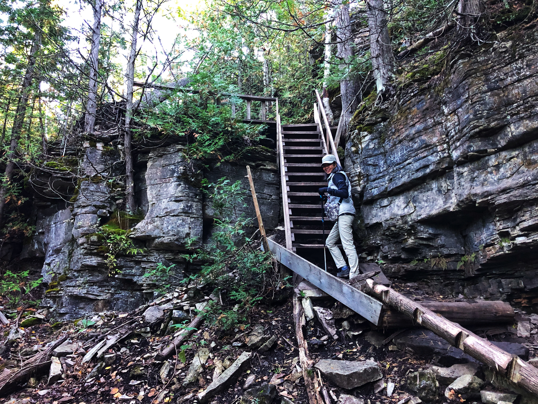
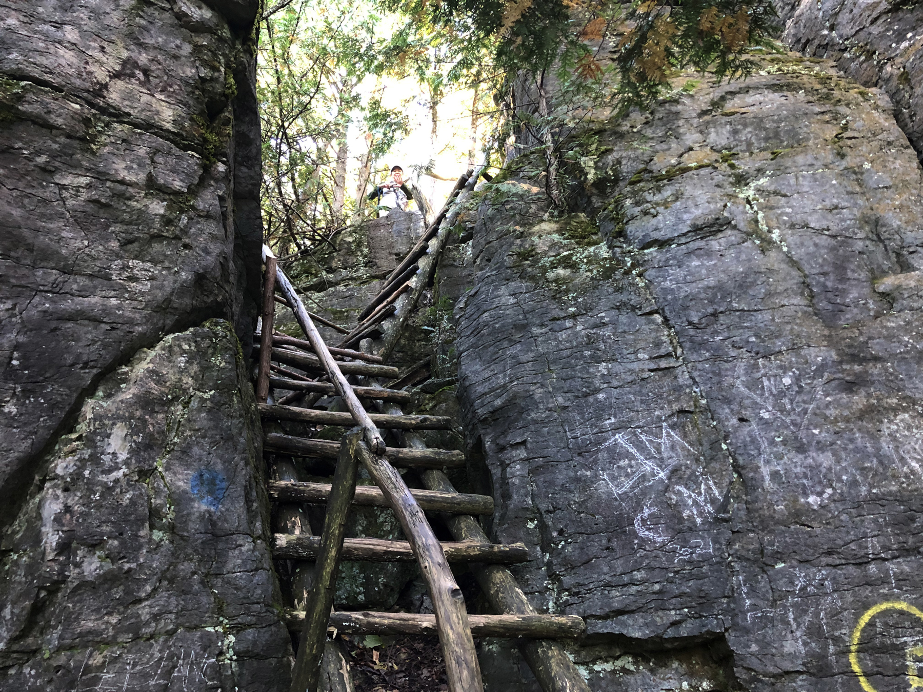
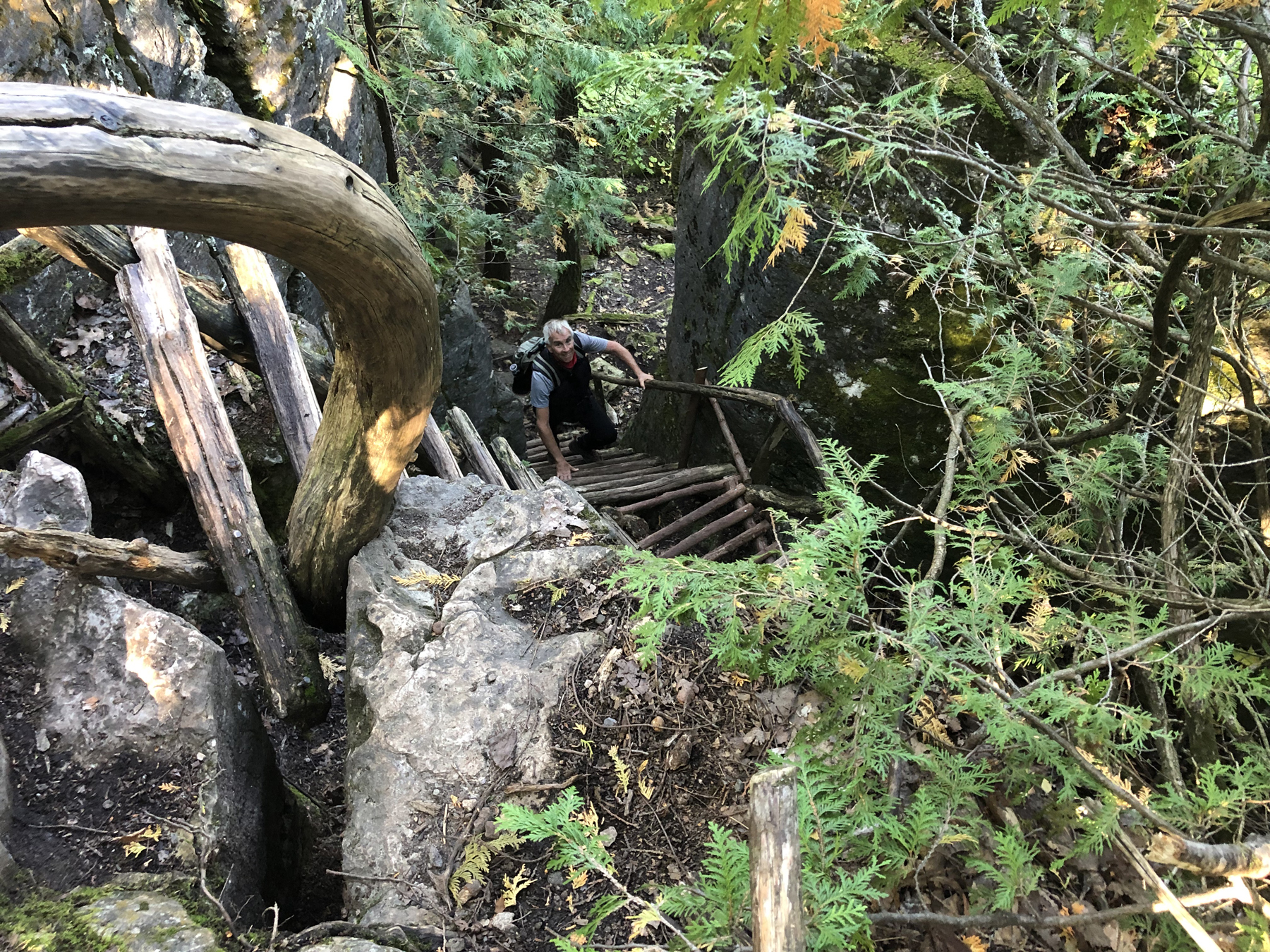
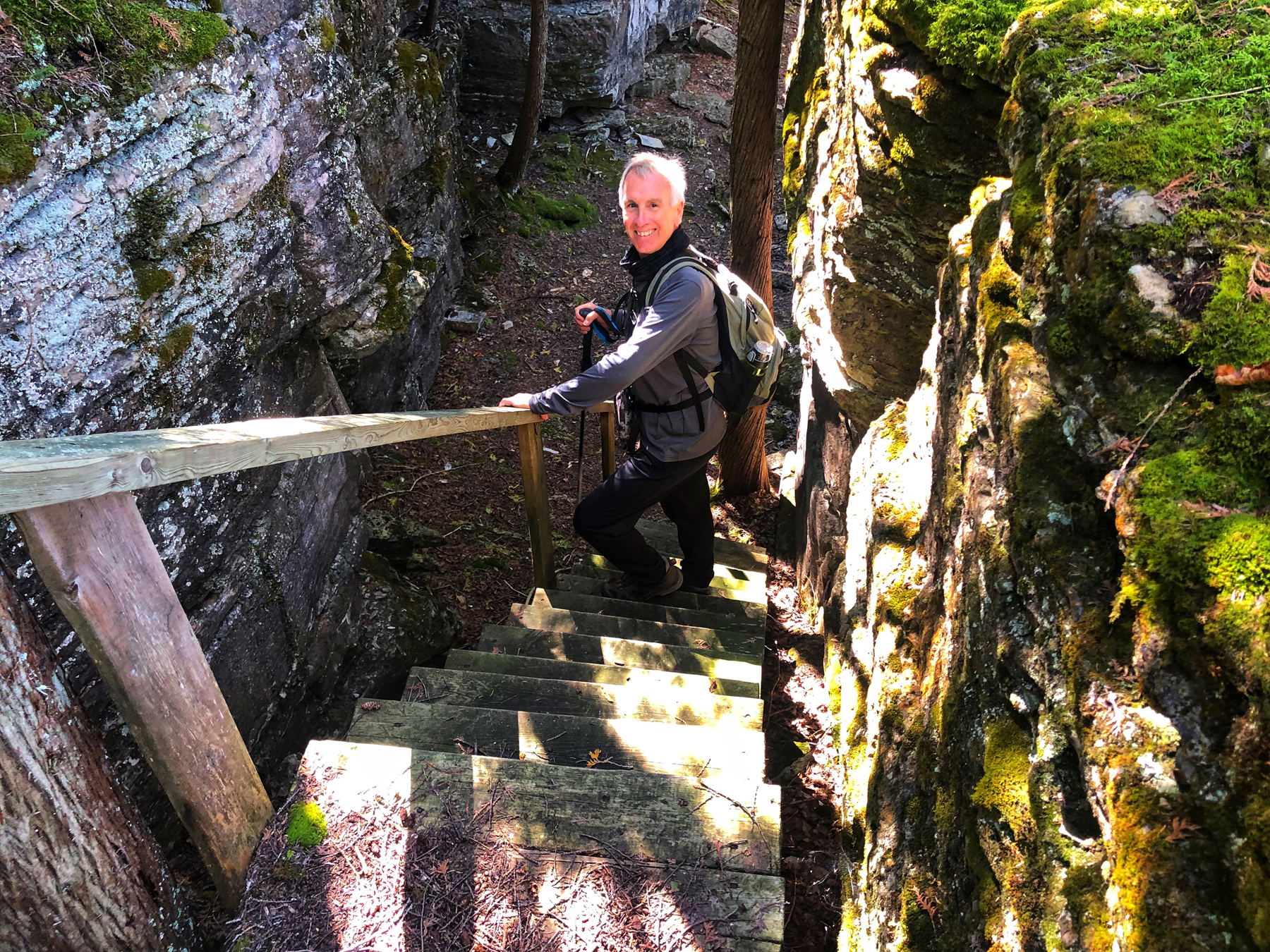
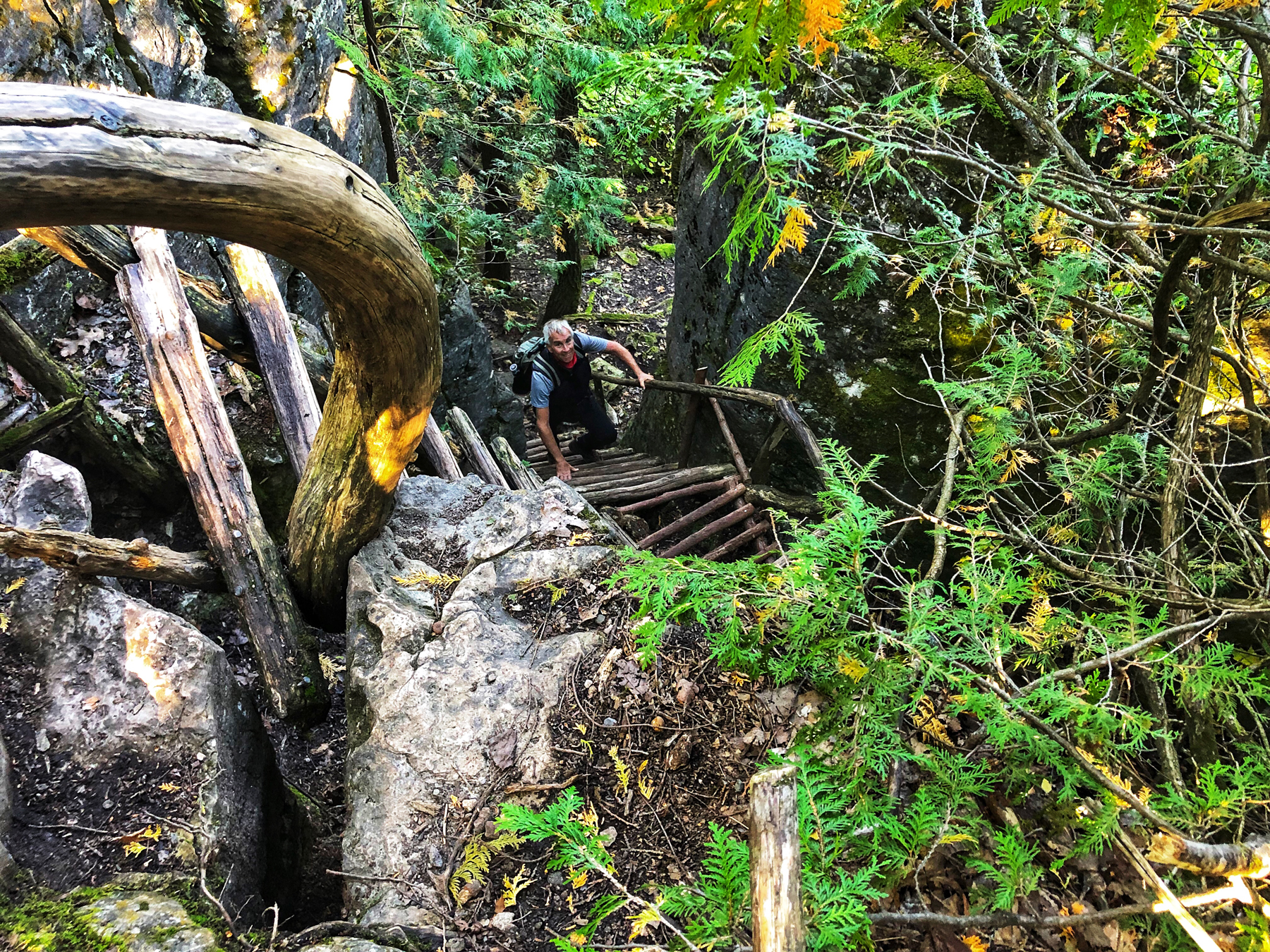
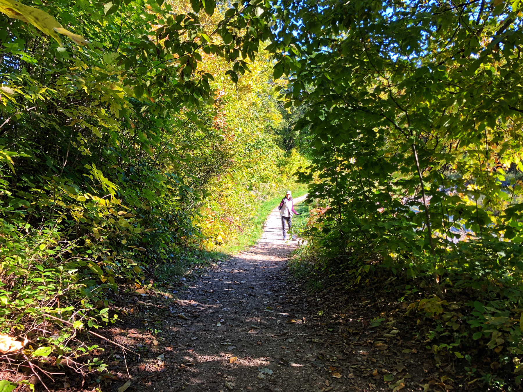
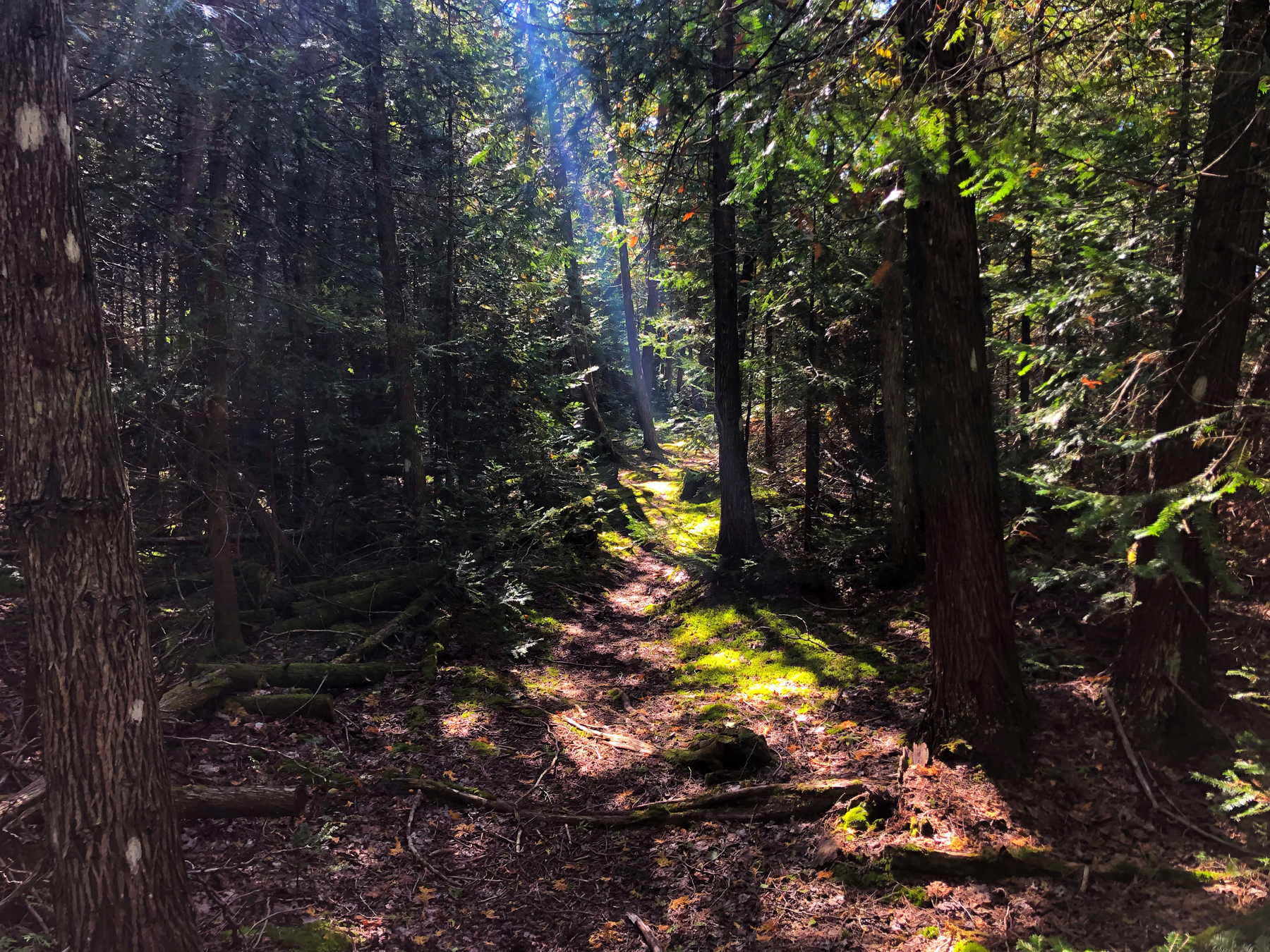
We hiked the main Red Trail, which meanders in and up the escarpment until you come to a set of steps, taking you up to the top of the escarpment. From there, the hike is a gentle climb and leads to a fork in the path, both directions lead to the lookouts so whichever way you choose, it’s the right decision.
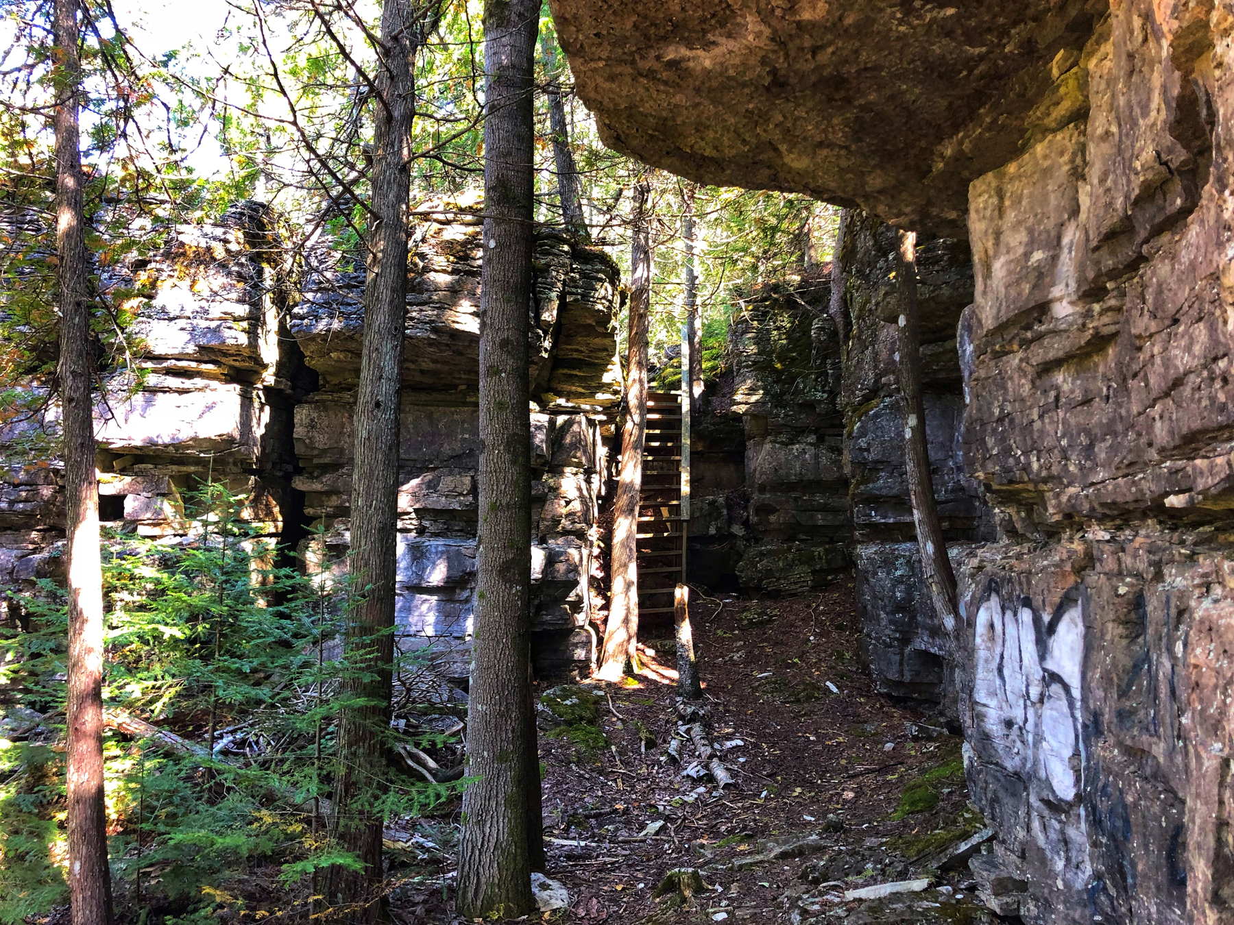
We looked down the Adventure Trail and decided that we’d stay on the main trail, which we think was the right decision for us.
We hiked this trail slowly and from the time we left our car to the time we returned, we were on the trail for 2 hours and 45 minutes. We like to look around and take lots of photos so if you are not so inclined, one group of people that left five minutes before us were already heading back to their car before we were halfway into the first section of the trail.
If you plan on completing the entire loop, expect to add at least another three hours of hiking through mostly forested woodlands.
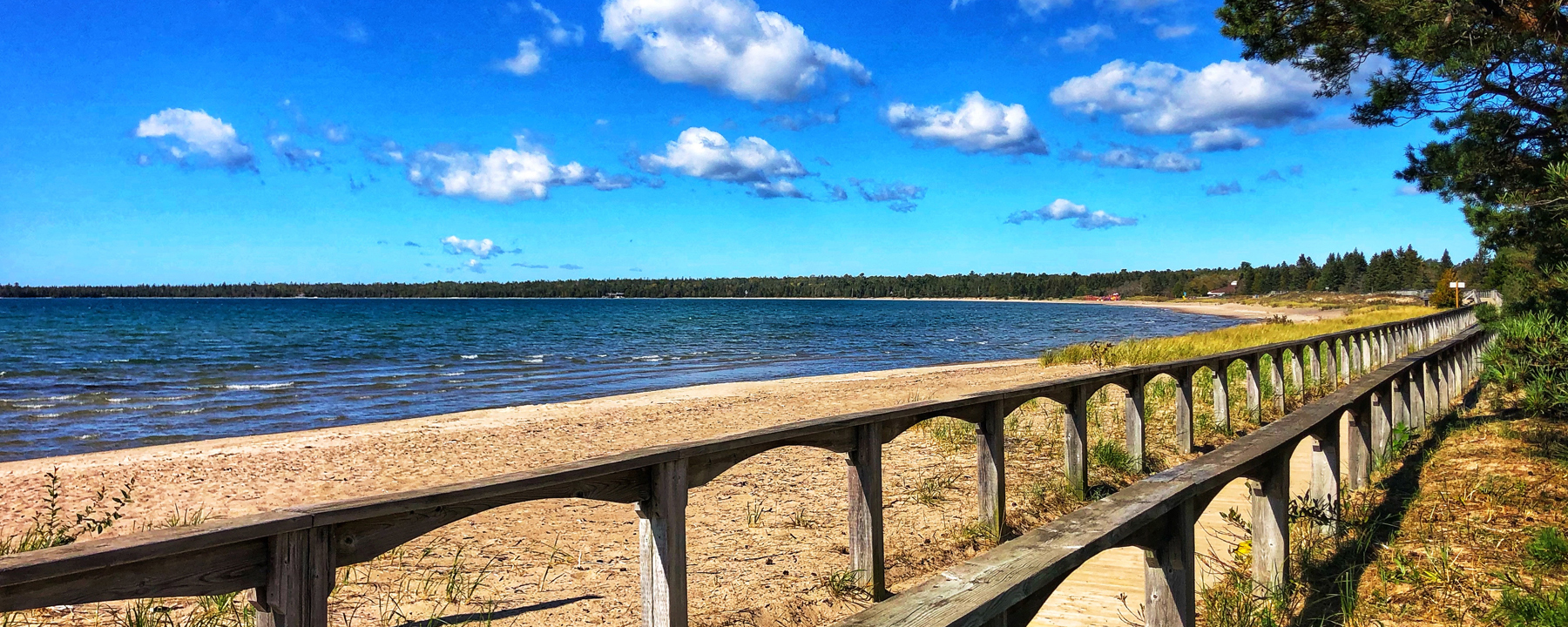
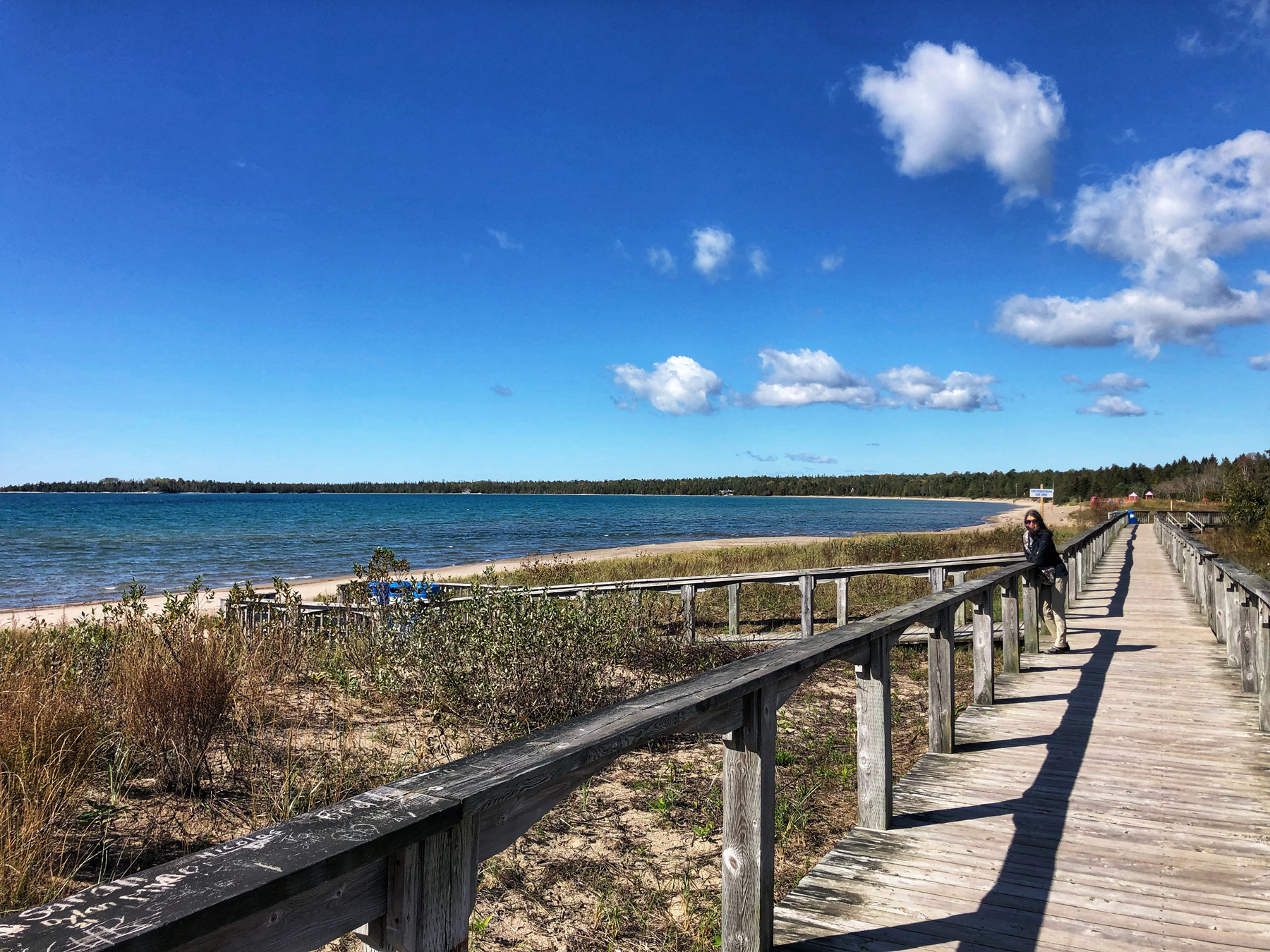
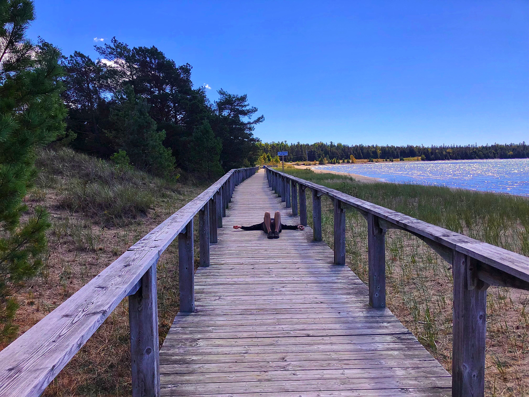
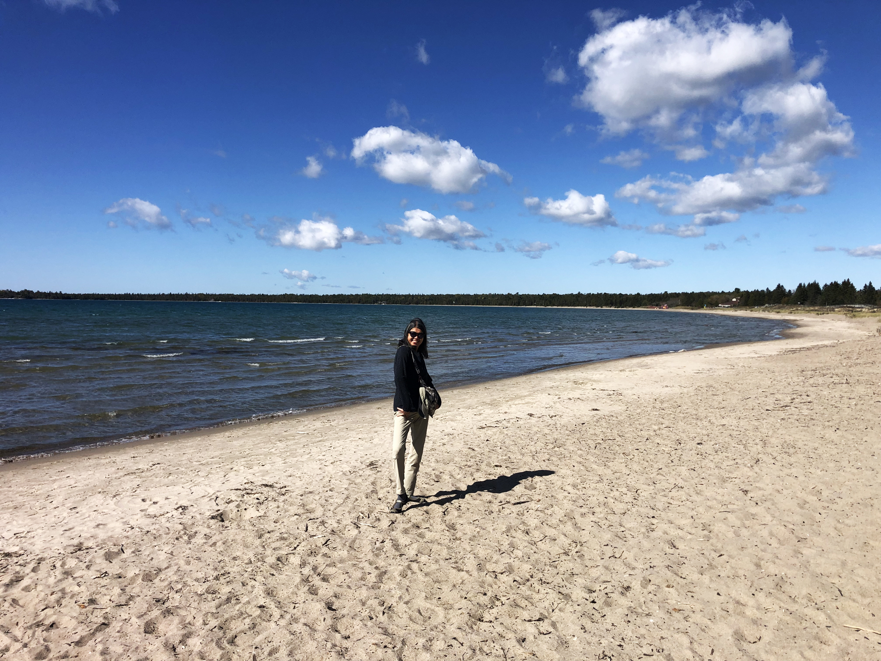
In the afternoon, we headed off to Providence Bay for lunch and a walk along the boardwalk and the beach. Providence Bay is an historic south shore Manitoulin port, facing out into Lake Huron. The Ojibwe name for the place is Bebikodawangog which translates as ‘Where the sands curve around the bay’.
Archeological finds have determined that the beach, the Mindemoya River which drains into it (out of Lake Mindemoya) were important places for pre-contact people to camp and, in fact, to dwell because of the ample supply of fish for sustenance.
A quarter century ago, naturalists realized that the natural sand dune-making associated with sand beaches and strong on-shore winds was being interfered with by human activity and so a long and wonderful boardwalk was constructed to help mediate this situation. The boardwalk is a pleasure in and of itself, and, at the end of it, you can enjoy a Farquhar’s ice cream treat at Huron Island Time.
We enjoyed our lunch at one of the many available picnic benches and a long walk back along the beach after strolling the boardwalk. On a warm summer day, we could imagine how busy this beach must be – but a lovely day trip for any visit to the island.
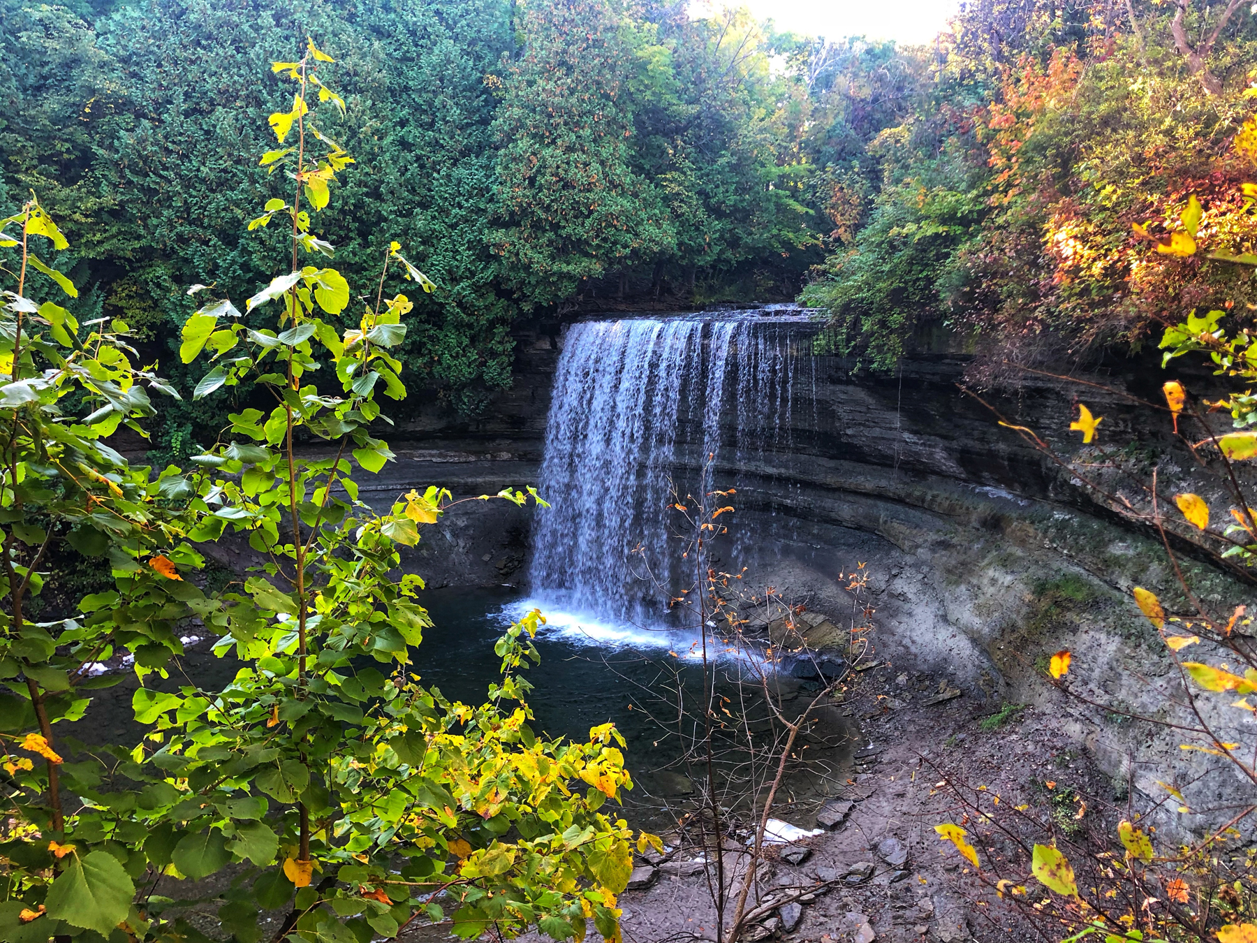
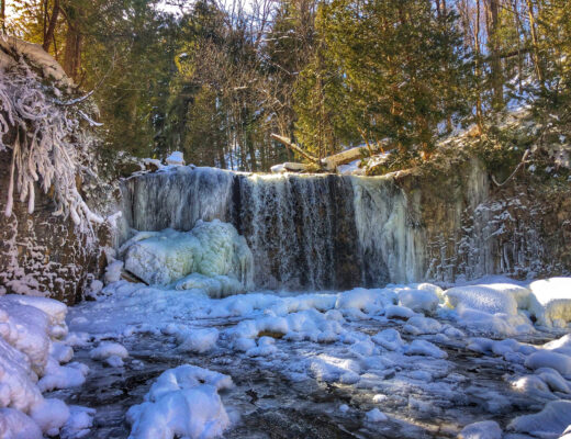
Bridal Veil Falls
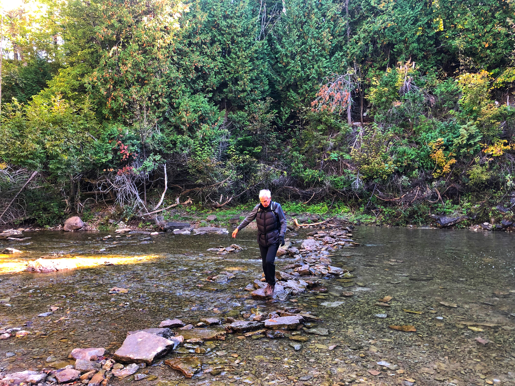
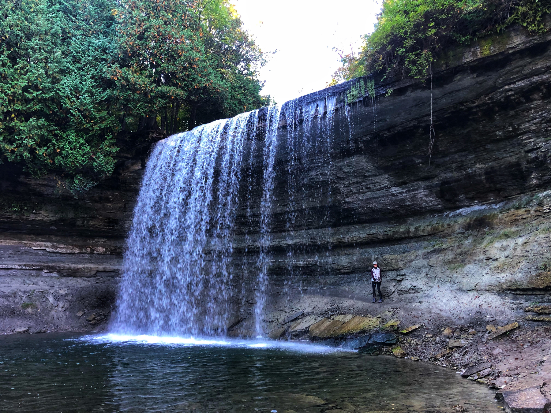
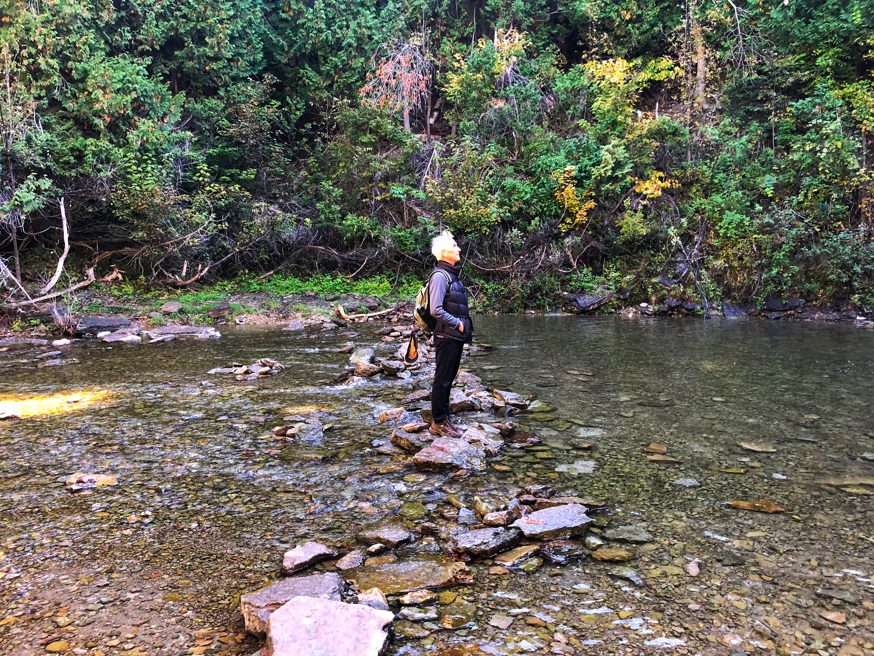
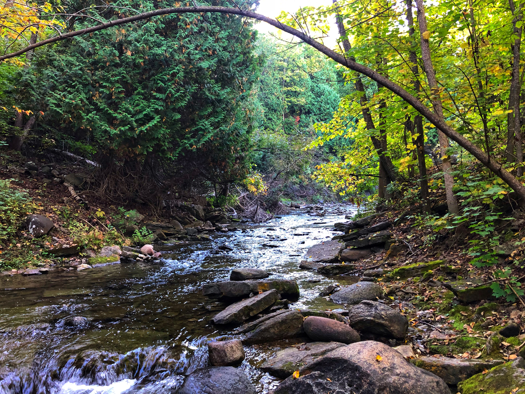
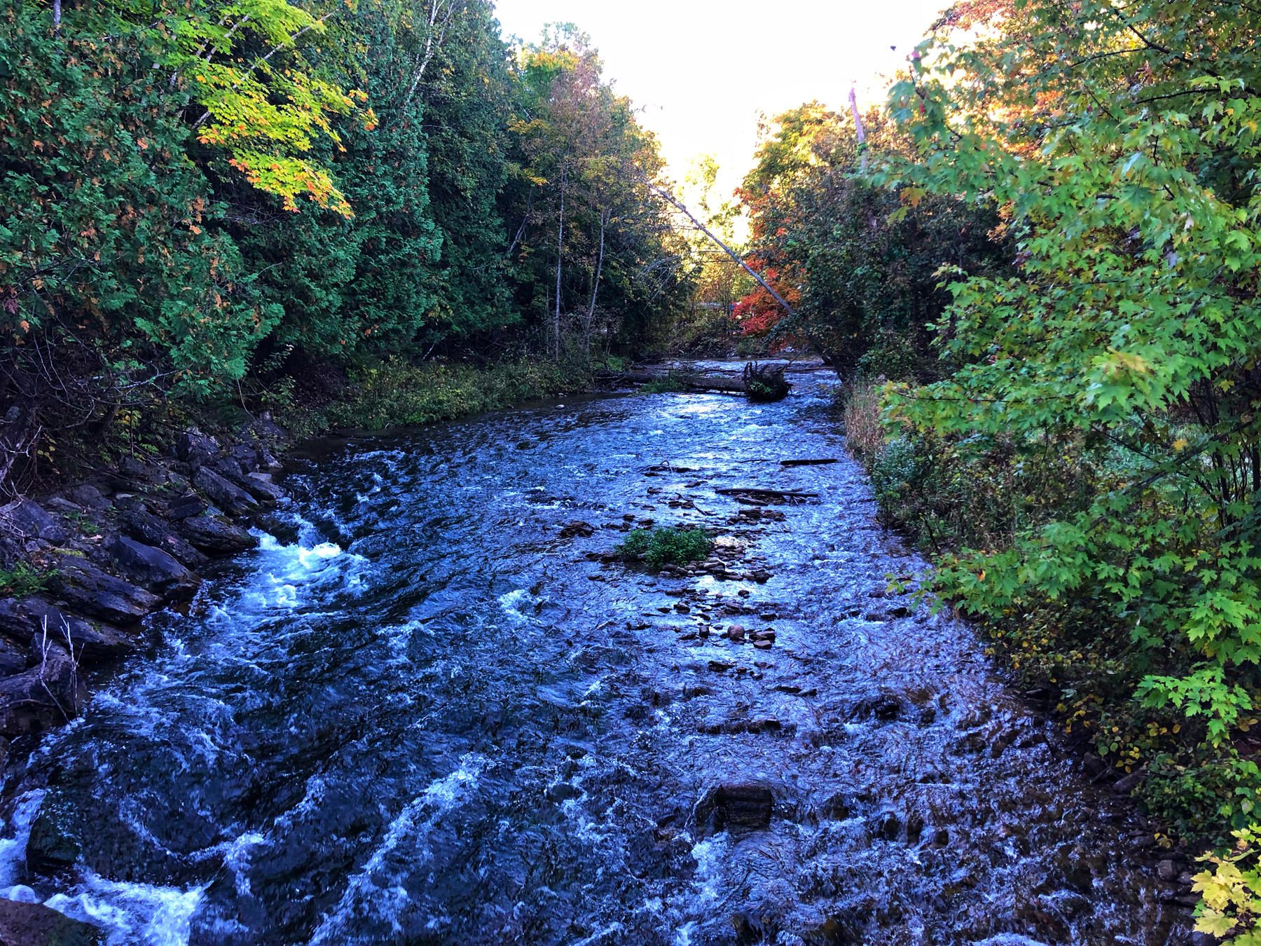
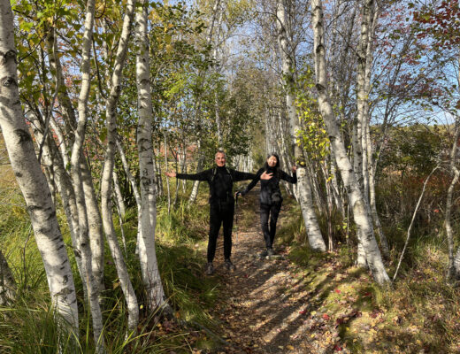
On our second day, we started with a visit to Bridal Veil Falls along the Kagawong River and a hike along the shores down to Mudge Bay and back along the other side of the river. To begin, the falls are literally one minute from the parking lot and very accessible, which was a real treat. We got to walk right up underneath them and not get soaked although I am sure hiking underneath them on a hot summer day would be a blast.
After the requisite photos, we headed off along the ‘Purple’ Trail that runs along the side of the river. Of particular interest to me is how much re-construction and preservation of the river has and is being done. There were large sections which had been reinforced with natural stones as well as stone placed strategically within the flow of the river specifically to create an environment that salmon would flourish in. There are also interpretive signs to explain what is being done and why. I highly recommend a visit to the falls and the ‘Purple’ Trail.
After taking a fifteen minute rest overlooking Mudge Bay, we decided to take the ‘Gold’ Trail, which was shown on the interpretive map at the beginning of the hike and which runs along the other side of the river. We enjoyed that until it came to an abrupt lack of trail markers and we could not find the bridge that was supposed to be there for us to cross so we backtracked and crossed a bridge that was marked CLOSED. When we returned to the parking lot, we noticed someone had scratched out the bridge on the interpretive sign, but it looked more like graffiti or vandalism rather than marking the trail is closed. Anyways, if you try and do this trail, just know that the bridge that is supposed to get you back across the river no longer exists.
All in all, it added a bit of adventure and both of us thoroughly enjoyed spending close to two hours hiking here. There are also a series of indigenous sculptures within the trail with good signage explaining each work.
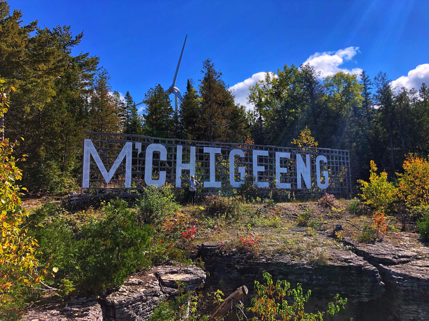
M’Chigeeng Trail
In the afternoon, we headed off to the M’Chigeeng Trail. When we got there, the sign said CLOSED also but beneath it said ‘Use at your own risk’, so we decided to take the hike.
The first section takes you up a road heavily scattered with fallen rock from the side of the escarpment, which you are walking beside for about 20 – 30 minutes and it’s a fairly skittish uphill hike. Watch your footing.
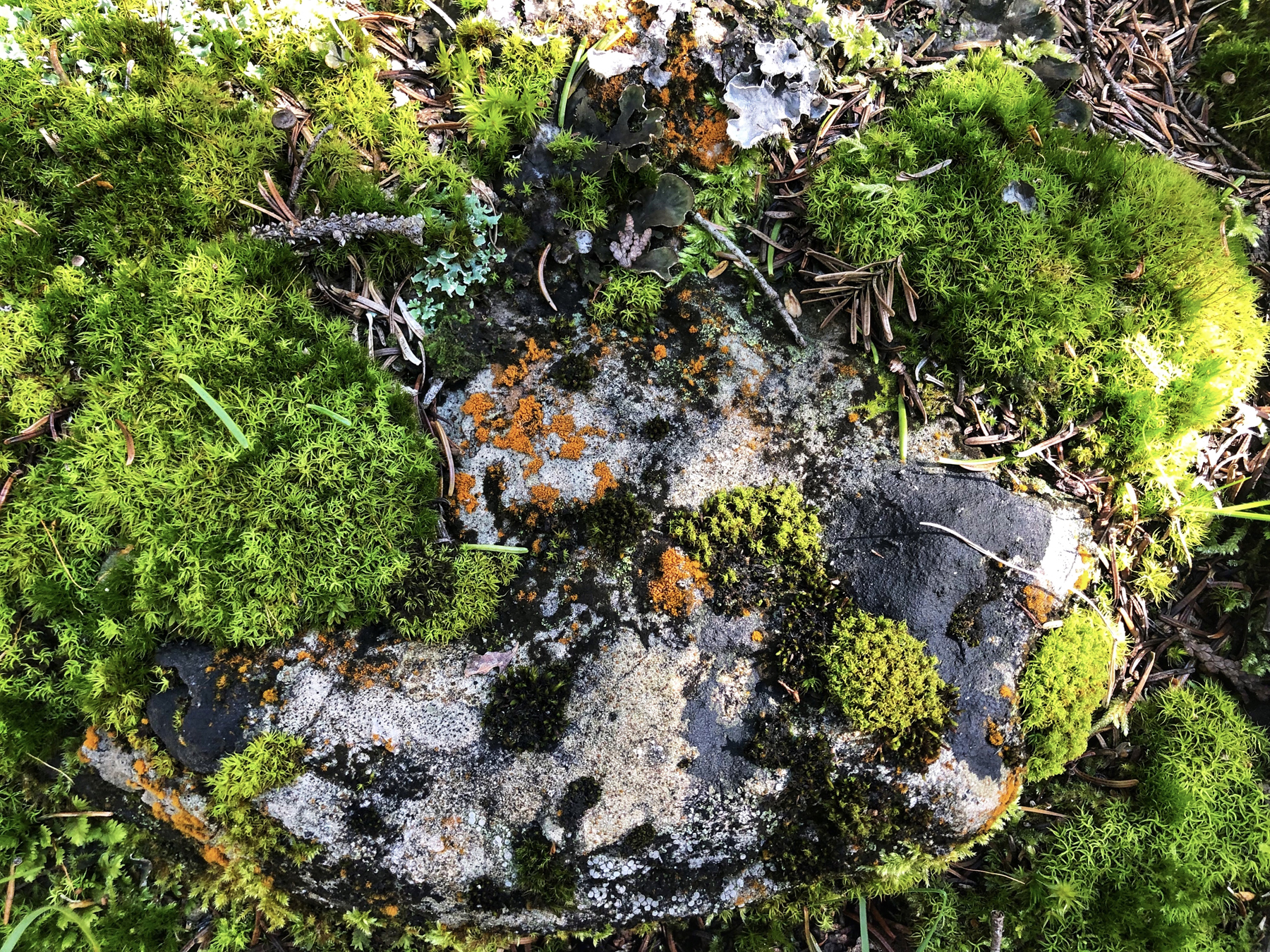
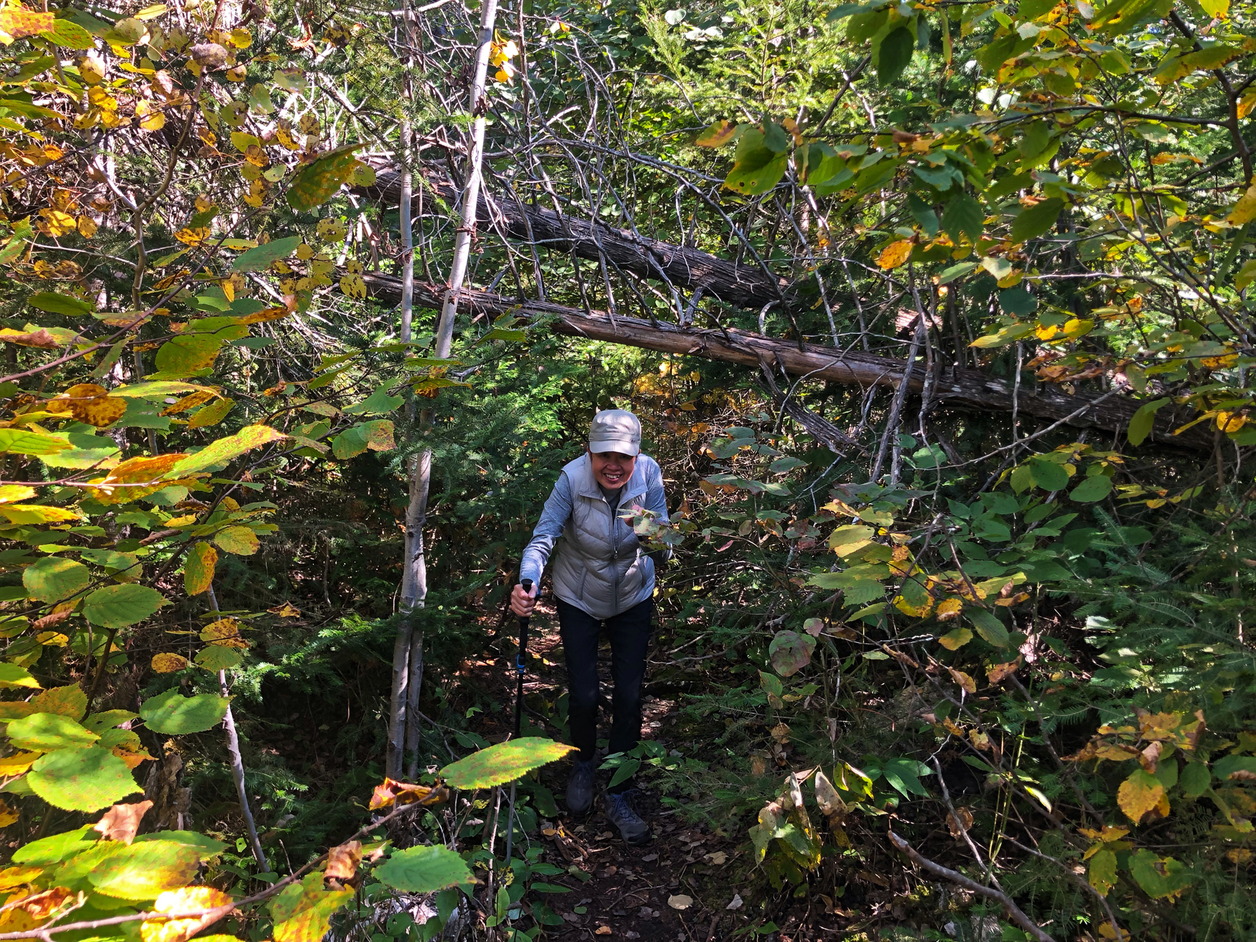
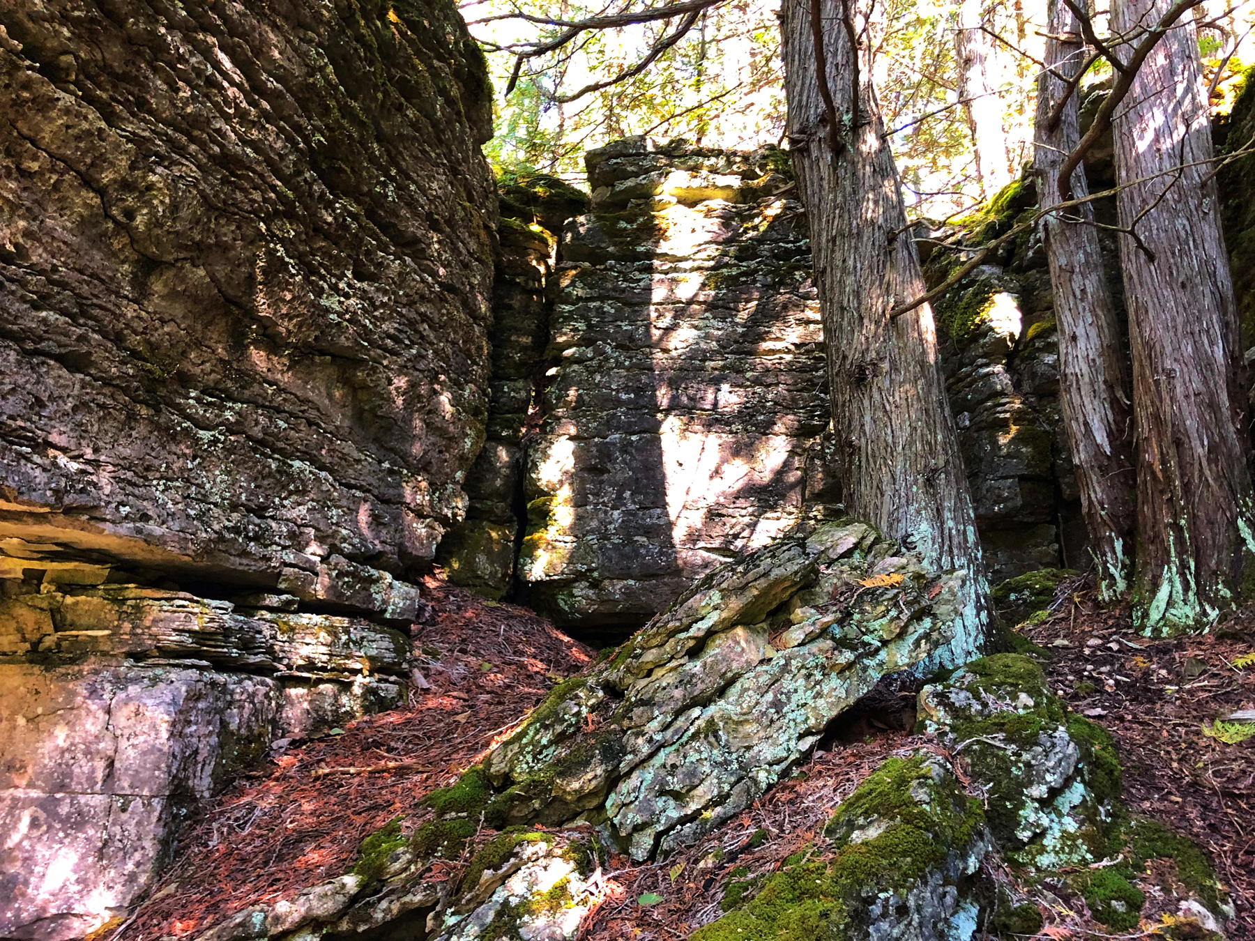
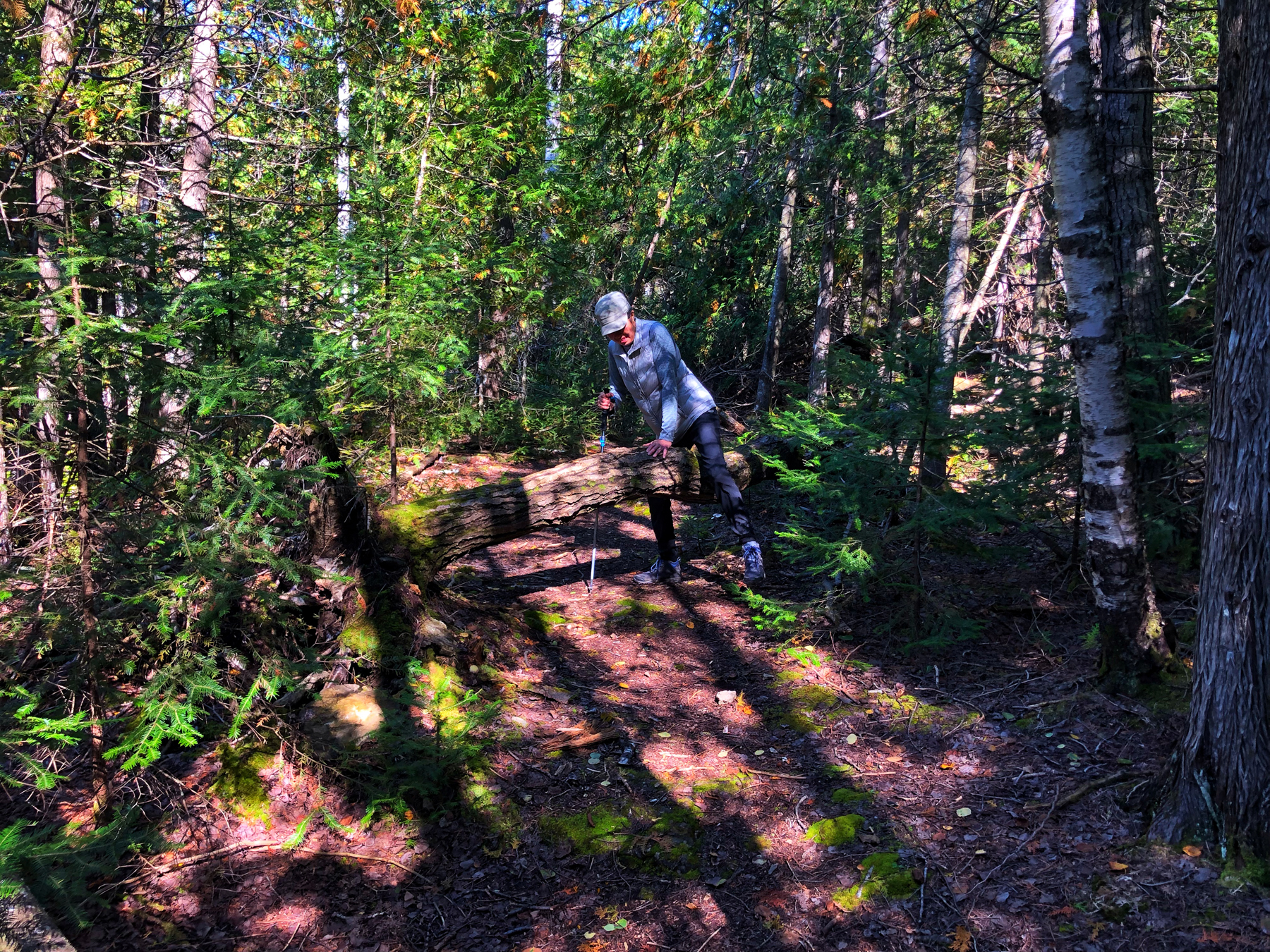
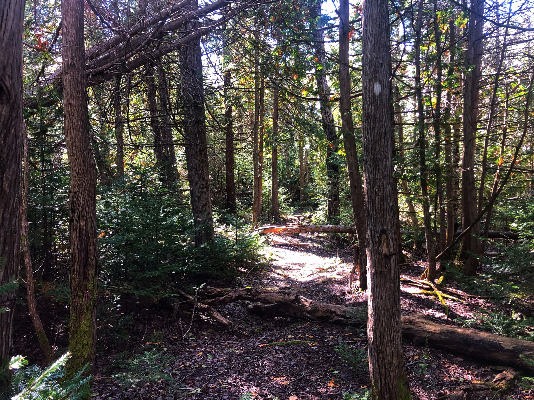
Once up top, we basically were on an old road of some sort and it was only once we looped the entire trail back to the original trail under the M’Chigeeng sign that the fun part began. From there, we wandered through a trail that seems to have been closed and neglected for several years with dozens of trees fallen over and across the path, which for us, made this trail fun. It was a lush untrampled forest with lots of moss and mushrooms and wet growth on branches and wonderful trees where hardly anyone has walked for several years or so it seemed to us. Finding the footpath was sometimes a guessing game.

M’Chigeeng Trail
It was only as we neared the end of the trail that the fun stopped.
At that point, there is a large rope which hangs down a roughly 30 foot straight drop onto a rickety old landing and staircase and we decided there must be a better way. With the help of our All Trails GPS, we went up instead of down and connected up with the initial part of the trailhead and then simply walked down the road back to our car. It wasn’t one of our favourite hikes, probably not even in the top 100, but we were there and we made the best of it but the views of Cup and Sauce are MUCH better.
 Now let’s talk about food.
On our first night, we had dinner at Elliott’s, a simple restaurant that served a simple menu. We both had fish. I had fish and chips and what I liked about the meal was the fish was very lightly battered and the fries were freshly cut real potatoes. Yim had the pickerel, with veggies and mashed potatoes. She also enjoyed her meal but the veggies were frozen, which she did not enjoy at all. On a bright note, an entire bottle of Malbec was $24.00. That was a nice surprise. They even let us take home the bottle, as we didn’t finish it.
On day two and three, we had dinner at The Anchor Inn and the food was absolute wonderful. Between us we tried the Anchor Fajitas and Firecracker Shrimp Pasta, shared the sweet potato fries and finished it off with a dish of apple crumble and ice cream on the first night then went back and had the Whitefish Salad with a walnut dressing and Fish Tacos, which were huge with lots of fish in them, as our mains, shared the calamari and cauliflower bites, another order of sweet potato fries and a few glasses of Malbec wine. We highly recommend The Anchor Inn.
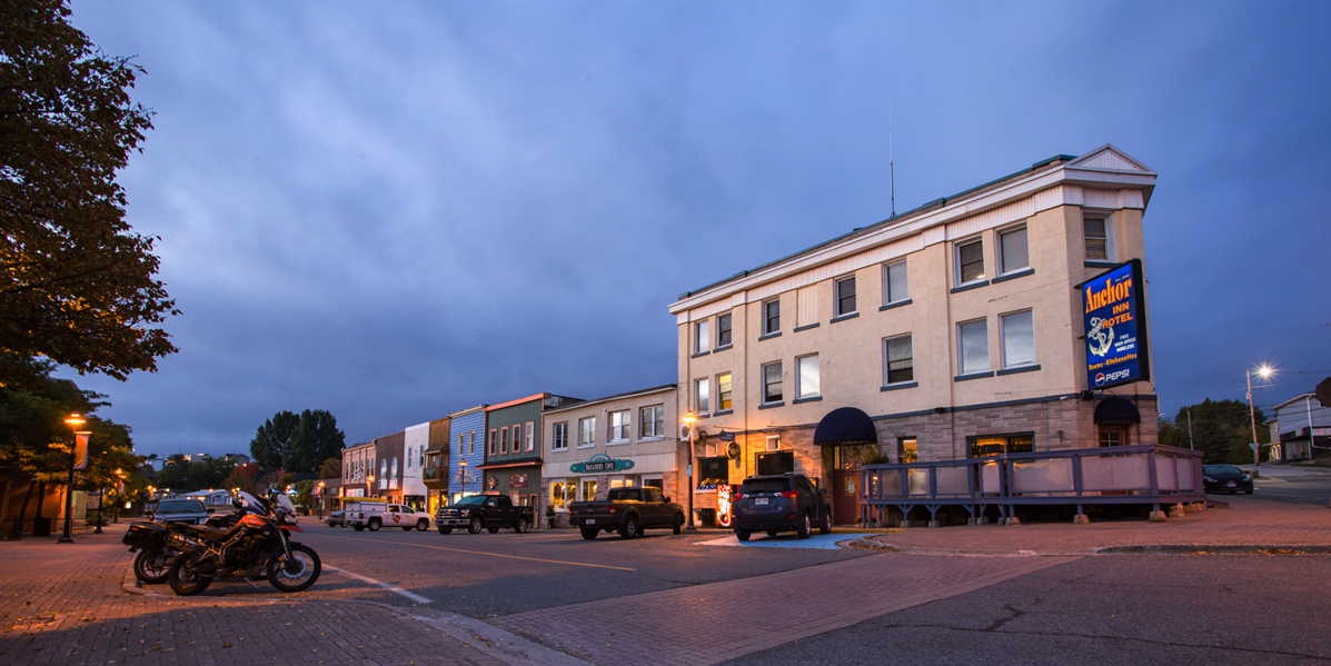
We also discovered a small cafe on our first hour in Little Current called Loco Beanz Coffer Shop, which made fresh sandwiches early every morning. Each morning we picked up two fresh sandwiches for our hike along with a date square, blueberry muffin of some other lovely munchie so we didn’t have to look around for places to eat in between out morning and afternoon hikes.
That was our three day getaway to Manitoulin. There’s tons of stuff we didn’t do but we only had three days. Enjoy the photo gallery.

No Comments