The Chikanishing Trail
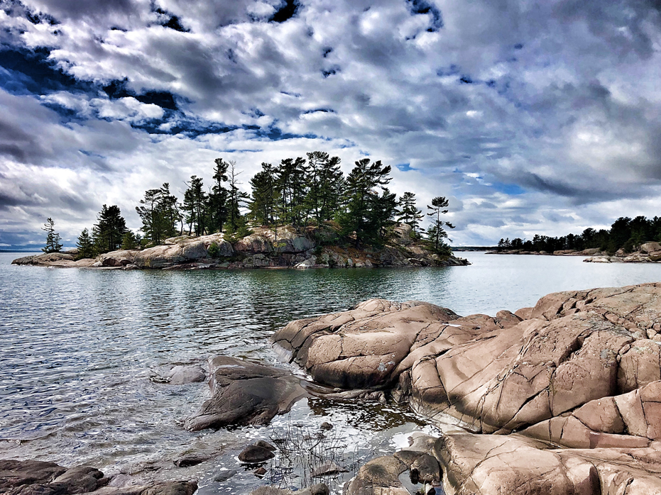
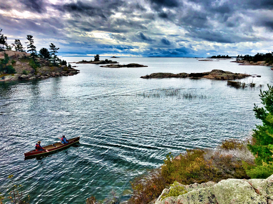
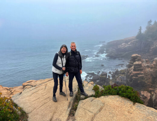
Chikanishing Trail is a lovely hike that provides you with beautiful high views over Chikanishing Creek, Georgian Bay, several small local islands and the gorgeous granite shoreline.
It is a three kilometre hike that meanders across rock ridges all the way out to the bay.
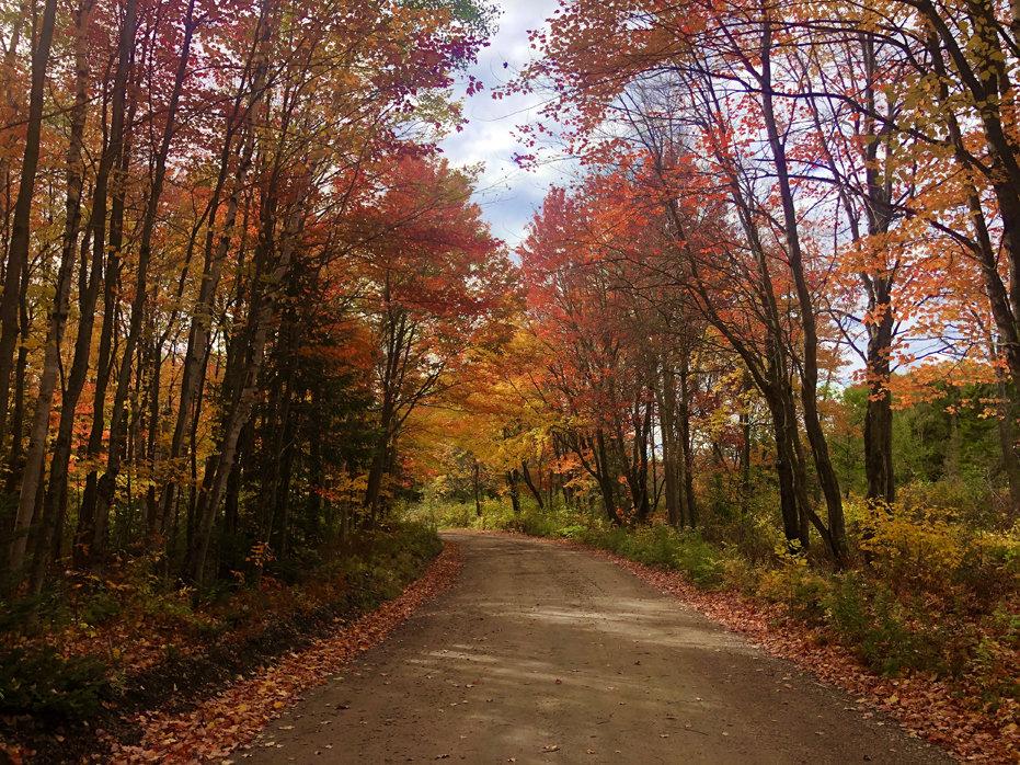
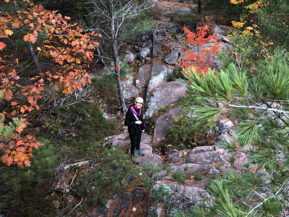
We had planned our trip to Kilarney as an early October weekend and hoped that the fall colours would play a big role in the enjoyment of the many hikes in the area we had planned and we were not disapointed. From the second we pulled into the Chikanishing turn off, we were surrounded by an explosion of colour and for the next few hours, it didn’t stop.
If you are going to visit, October is the time as far as we are concerned.
Remember that you will need a Parking Pass for Kilarney provincial Park, which can be purchased at the Kilarney Park Office.
Getting Started
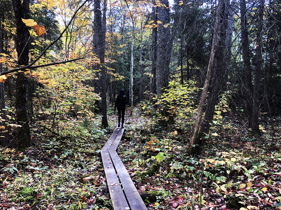
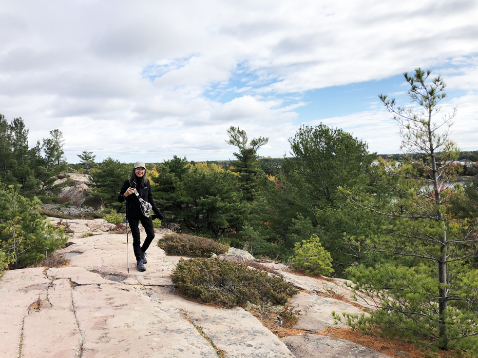
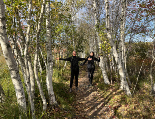
From the parking lot, head towards the trail. There is a boardwalk for the first several hundred feet and then the trail winds it’s way through the woods until you come to the beginning of the rock foundation that makes up the shoreline of Georgian Bay in Kilarney Park. Then you will start climbing pink boulders and following red markers from here.
The trail is very well marked with markers either nailed to trees or painted on the rock surface but some of them are painted on the rocks so make sure you look down if you can’t find the next marker. You may be standing on it. Some of the markers will be difficult to find.
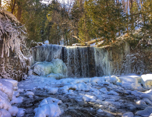
Along the way, you’ll come across several breathtaking view points. Some will have interpretive plaques that provide more information about the sights and history of the old logging operations of this part of Georgian Bay.
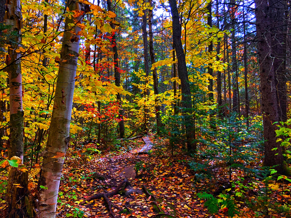
The trail isn’t too long nor difficult, but there will be some steep sections. In the middle of the trail, you’ll head through a healthy forest with many pine, beech, birch and oak trees. As the path starts to descent, you will come across a large section of pink rock leading downwards which can be slippery so, as with all our hikes, we recommend you bring hiking poles and wear good hiking boots for this trail.
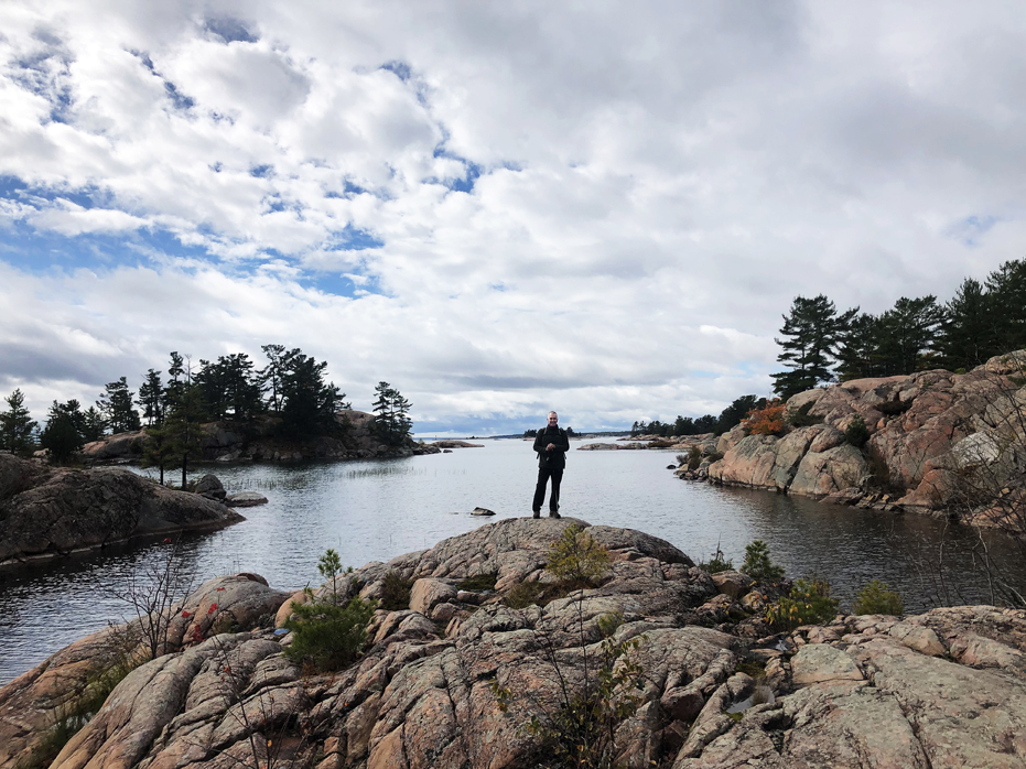
Once you reach the coast of the Georgian Bay, you’ll be rewarded with views of small islands and shoals.
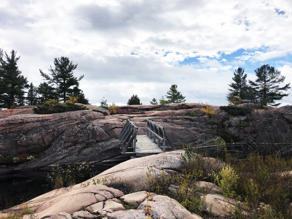
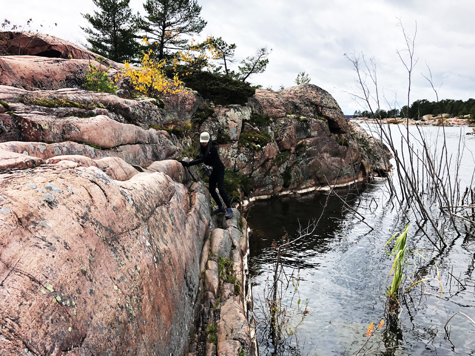
There is a funky old bridge to cross followed by a particularly tricky section where you have to squeeze along a little rocky ledge. You’ll have to place one foot in front of the other so be careful here. If you are not comfortable with balance, I suggest you stop at the end of the bridge.
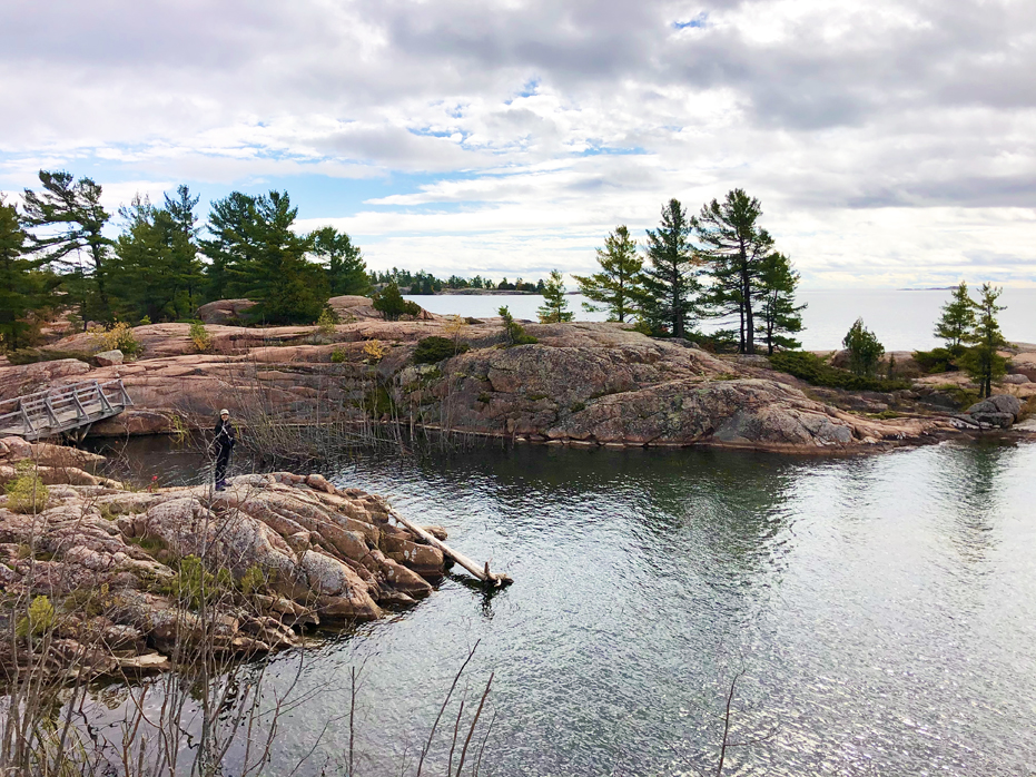
Along the trail, great expanses of glacier-sculpted pink granite are separated by lower ground with scattered pocket forests of pine and oak. Six interpretive signs along the trail highlight the history of First Nations, voyageurs and the local lake fishing industry.
The trail in to the highest lookout, which is just before the descent to the shoreline, is relatively easy. Beyond the lookout, the trail makes its way down to the water, with some tricky rock sections that may require the use of both arms and legs to climb over ridges, like the section right after the little bridge.
Just south of the bridge are features on the bedrock that suggest scouring of the granite bedrock by rapid flow (likely a flood) of sediment-rich water along the base of the glacier so keep your eyes down on this large rock outcropping. There’s history at your feet.
At the second interpretive sign, the glacially smoothed granite bedrock displays a series of crescent-shaped fractures, or chattermarks, which geologists interpret to have formed by the pressure and impact of stone being dragged or rolled by the base of ane Ice Age glacier. The alignment of the chattermarks, with the crescent openings to the northeast, indicates the direction of glacier movement was from northeast to southwest.
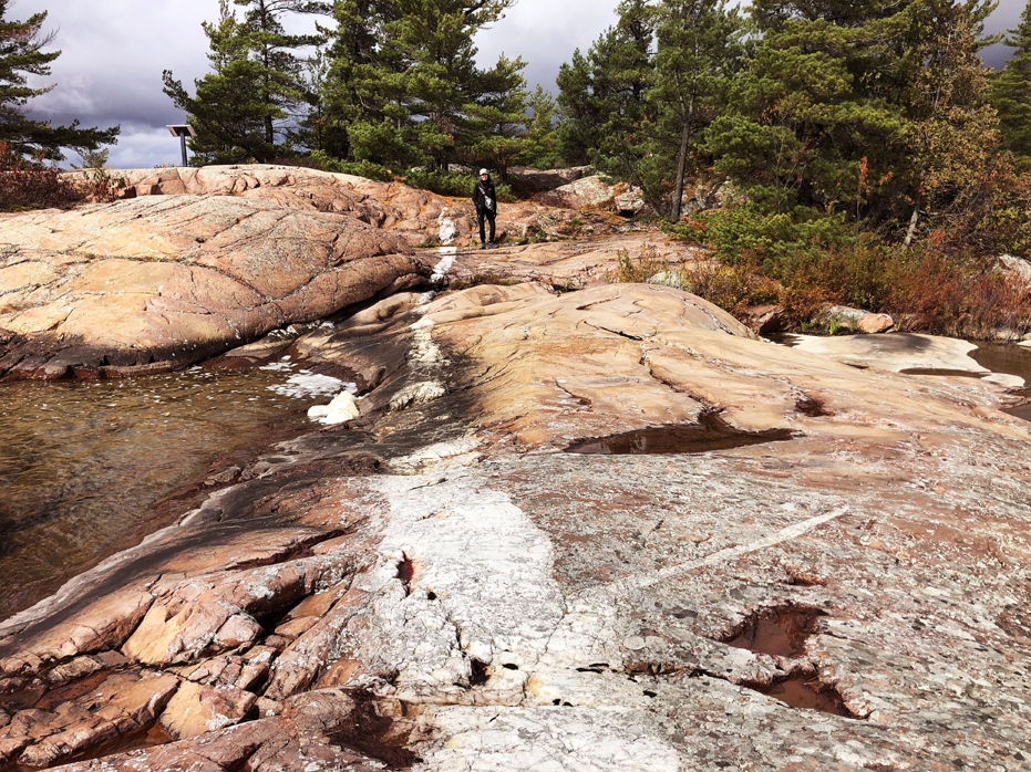
Once you are hiking along the shoreline, the smooth granite offers a delightful area to relax. Long, wide veins of quartzite run through the red rock and snake their way into the crystal clear water.
A large vein of white milky quartz is exposed on the rocky shoreline beyond the sixth interpretive sign. See photo below. This vein is the eroded remnant of an ancient crack in the granite that was once a pathway for mineral laden hot waters circulating through the earth. The waters slowly deposited quartz, completely filling the crack.
After you have spent some time on this section, you have to cross the bridge again and the trail then climbs back up and over the ridge and returns through a forest path.
This hike took us 2 + hours and I suspect that on a clearer day, we would have spent more time and taken more photos and knowing what we know now, would have stopped for lunch on the shores of Georgian Bay.
So, if you are visiting and planning to hike this trail, bring a picnic and find a spot to sit and enjoy this incredible location.
About the Trail
Access: Chikanishing Trail starts at the end of Chikanishing Road, 2 km west of the Park Office. Limited parking available.
Length: Approx. 3 km Loop Trail
Time: 1.5 hours
Difficulty: Moderate – Difficult and steep in some sections.

No Comments